
Salvaterra do Miño. Fillaboa island. Flora, Wildlife
About this heritage
Salvaterra do Miño, is a town in the Vigo´s metropolitan area. It is located at an altitude of 150 meters above the sea level. It borders on the municipalities of Ponteareas, Mondariz, Cañiza, As Neves, Salceda, Tui, and to the south on the Miño river and Portugal. Salvatierra, together with a large part of the above-mentioned municipalities, forms the Condado´s count.
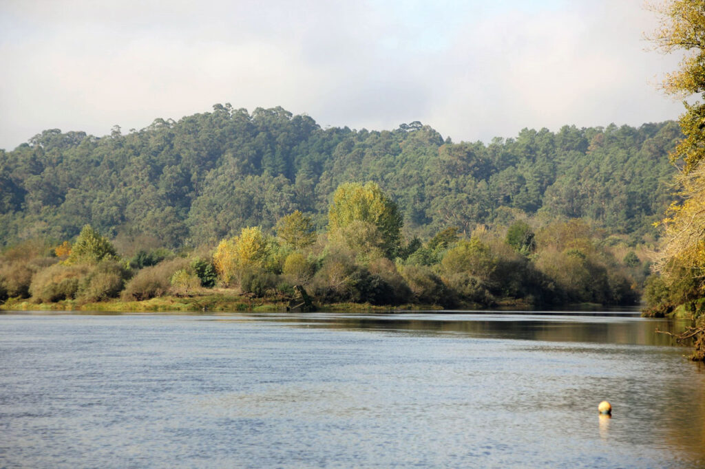
As it passes through this town, Miño river narrows leaving islands, islets and large rocks in sight, such as the Fillaboa island. This island is located between Spain and Portugal, right at the Tea river´s mouth in the Miño. The island, which was privately owned, was acquired by the City Council of Salvaterra.
It has an extension of 110,000 square meters and is located in a protected natural area called Community Interest Property (BIC) .
It is the largest of the two islands at the Tea river´s mouth and to get there, you must walk along a route that joins A Canuda park with the Tea river´s mouth, or along another alternative route that runs from the Roman Bridge of Fillaboa, along the course of the river to its mouth.
In winter and spring it is more difficult to access so it is intended to build a permanent access all year round.
In the Island´s interior there is a building in which a Nature Classroom is projected, based on the native flora and fauna of Galicia.
To learn more
Very close to this island is A Canuda public park. In the perfectly maintained park, we can find swings, slides, castles or table games such as parcheesi or chess drawn on the ground. Also ping-pong tables and the key game.
The area has its own lake where ducks live. Gardens, wooded areas, walks and rest and relaxation areas.
You can even find an amphitheatre, an area of ethnographic interest with farming tools. The complex is completed with a swimming pool and a sports and rehabilitation area for the elderly. There is also a pedestrian and bicycle path.
Returning to Fillaboa island and the rehabilitation project of an old construction of 2 floors as a Nature Classroom, it is planned to create an obligatory reference point from which it will be possible to know the whole environment, with panels and plans, guides with the species of flora and fauna of the area. Like the two types of wagtail (Motacilla Alba) or dragonflies (Calopteryx virgo). It will also be the starting point of a hiking route and a suitable leisure and rest area with barbecues and tables.
This is an area with much to see, such as the Fillaboa medieval bridge with three arches over the Tea river, which was part of the old road from the town to Tui.
To know it better
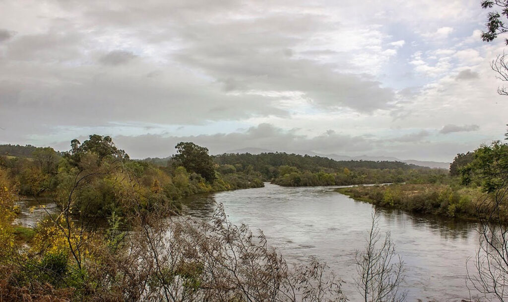
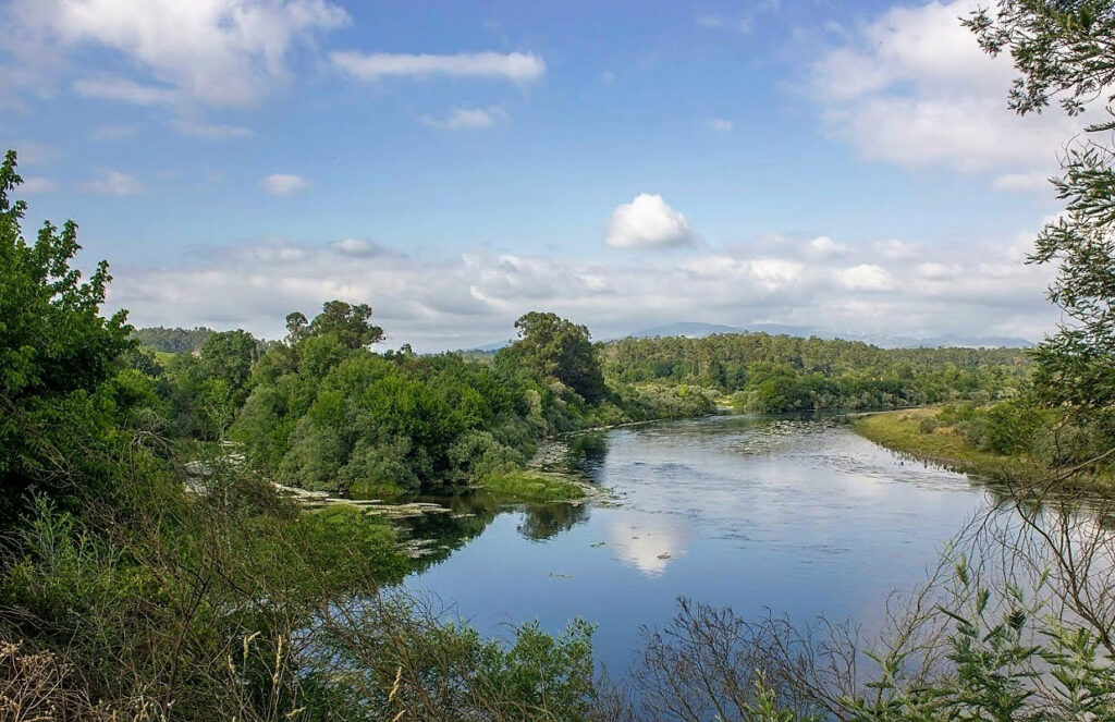
Fillaboa Island is located in the Miño river, between Spain and Portugal and it belongs to the Salvaterra do Miño City Council. Tea river is located in this place, flowing into the Miño´s waters.
The island has an area of about 110,000 square meters and is located in a natural area protected as a Community Interest Property (BIC). In addition, it is a beautiful area where you can enjoy nature, its fauna and flora. We can find different species, such as birds (common coral beak, common accentor, short-toed tree creeper, gulls, swallows), rabbits, salamanders, otters and fish (eels, lampreys, salmon or trout).
Nowadays, there is a project of the Salvaterra do Miño City Council that consists of rehabilitating an old building that is located on the island. This would serve as a starting point for trekking routes, documentation on the environment and an area adapted for picnic. On the other hand, there is also a project to build a footbridge to link this municipality with the island.
Gallery
Location
- Town
- Salvaterra
- Municipality
- Salvaterra do Miño
- Province
- Pontevedra
- Country
- Spain
The asset
- Type
- Island
- Eco-destination
- Río Miño
- Environment
- Natural
- Relevance
- International
How to get there
- Access
- By sea By land
- Distance
- Distancia 2,7 km / 6 minutos en coche
The visit
- Visitable
- Visitors who want to access the island can do so by walking along a route that connects the "A Canuda" park with the mouth of the Tea River, in the surroundings of the Miño River. Another possibility is to access from the "Puente Romano del Fillaboa" al
- Accessible
- No
- Parking
- No
Coordinates
- Latitud
- 42.08007500
- Longitud
- -8.52084500