


Vigo. Bouzas Port and Nucleus. Seafaring district
About this heritage
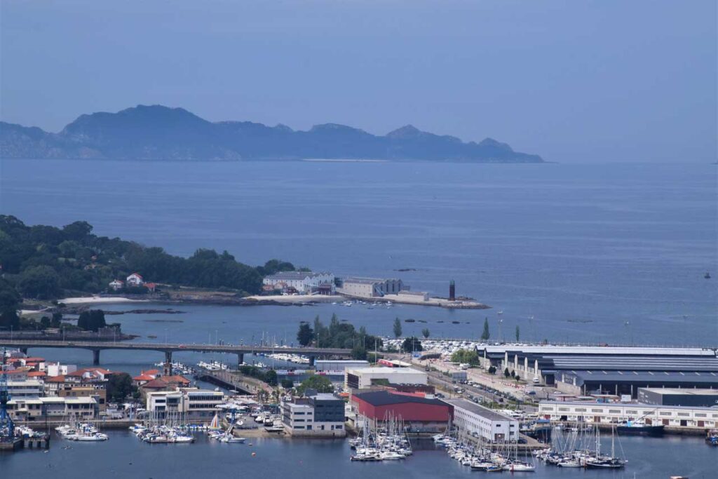
Bouzas is a seafaring district located in Vigo that was independent until 1904. It has an urban beach next to a three-kilometer round trip promenade and a small marina. Every Sunday, a flea market is held in the Alameda and has a fresh-food supplier market.
Bouzas holds the old fish-canning factory of Bernardo Alfageme, consisting of a palace-like factory building, an architectural illustration of the interwar period. It is the design of the architect Gómez Román and dates back to 1928; this acts as a family house, a warehouse, a changing room, and even has a garden area. It is one of the most emblematic representations of industrial architecture in Vigo, and its access is on Tomás Alonso Street.
Until the twentieth century, Bouzas was an independent parish that, along with others, ended up becoming annexed to Vigo due to the industrial development of the city. It was always a town hall linked to the maritime industry, where also one can find the church of Saint Michael and numerous bourgeois houses. The Saint Michael church dates from the sixteenth century and is on the seashore; the former parish was developing behind it. Currently, it has a promenade, where one can observe some traditional fishermen's houses.
In addition to being a fishermen's neighborhood, nowadays, it houses several shipyards and industries. Besides, this area has one of the oldest football teams in Galicia with a century of history, the Club Rápido de Bouzas.
To learn more
Bouzas is a seafaring neighborhood in Vigo, where you can find several shipyards and industries as well as a marina, which is next to a promenade and a small football stadium. This stadium belongs to one of the oldest football teams in Galicia, the Rapid de Bouzas, with a century of History.
Bouzas was independent of Vigo until 1904. Every year, it celebrates the festival of A Brincadeira, a medieval festival set in 1809 to commemorate the victory of its people over the invasion of the French Napoleonic soldiers. The name of A Brincadeira was in honor of the Portuguese, who contributed to expel the French troops. During the celebration, a traditional market is set up and the period costumes recovered.
One of the main activities of this seafaring district is fishing. Formerly, its principal crop was the sardine and horse mackerel, as they were particularly abundant. Besides these, the other common fishing products were octopus, squid, crustaceans, and bivalves. This is how the canning industry grew, and with the arrival of Catalan technicians, the salted fish increased and improved production. Because they were extremely abundant, they were salted and dried in the sun for times of scarcity or storms. They also marketed its oil by exporting it in barrels as well as pressed the sardines into herrings.
To know it better
Bouzas is a seafaring district that stands out for its fishing and its traditional market trade. In addition to its urban beach, it has a promenade with almost three kilometers of ocean views.
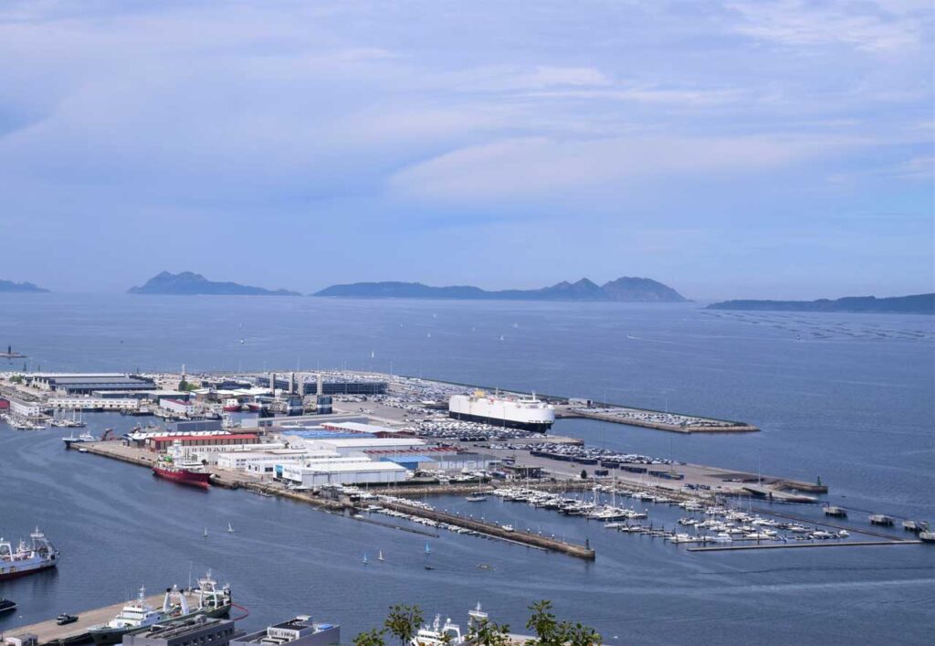
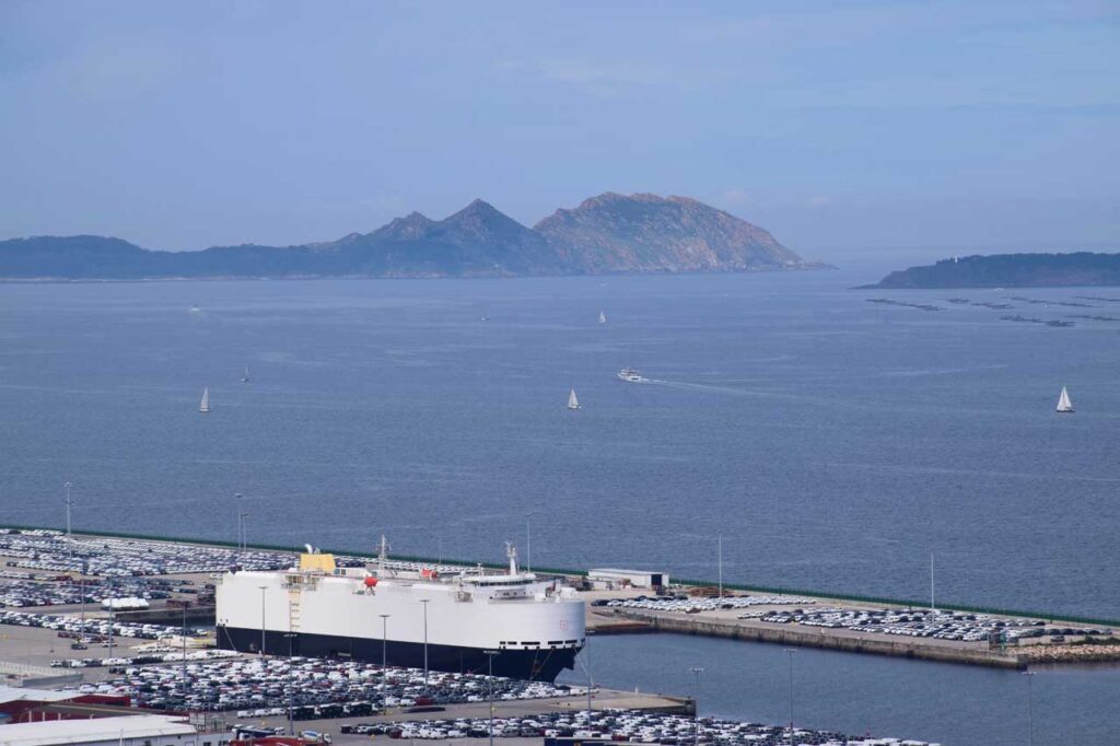
The largest area for industrial exploitation facilities is at the Bouzas docks in the Port of Vigo. There are two main areas: the Ro-Ro Terminal, which specializes in general cargo traffic, and the ship repair dock. In addition, the space holds the main headquarters of the Vigo Free Trade Zone Consortium.
Bouzas is one of the oldest neighborhoods in the city and its seafaring character is present in the dwellings. It also has the Church of Saint Michael, dating from the second half of the sixteenth century and rebuilt in the seventeenth century.
Gallery
Location
- Town
- Vigo
- Municipality
- Vigo
- Province
- Pontevedra
- Country
- Spain
The asset
- Type
- Port
- Eco-destination
- Ría de Vigo
- Environment
- urban
- Relevance
- international
How to get there
- Access
- By sea By land
- Distance
- 0.000km
The visit
- Visitable
- Yes
- Accessible
- Sí
- Parking
- Sí
Coordinates
- Latitud
- 42.22597600
- Longitud
- -8.75356300