


Areoso and Pedregoso islands. Dolmen and submarine
About this heritage
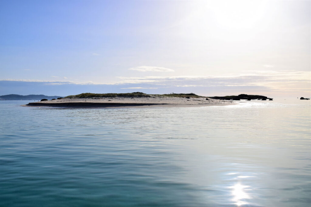
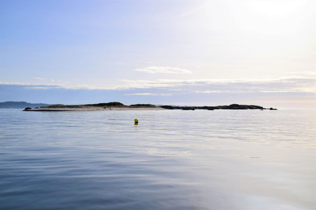
Xiodoiros Areoso is an islet located in the interior of Arousa´s estuary, a little more than 1 km, from Arousa island. Its beauty is comparable to any idyllic beach in the Caribbean. It is located to the west of Arousa island, in the surroundings of the Carreirón Park. It is the largest islet in the Rúa y Xidoiros archipelago and has an extension of 600 metres in its longest part.
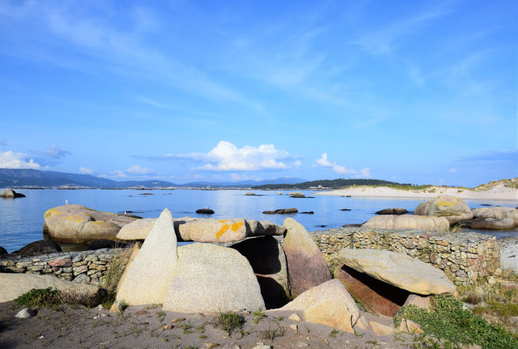
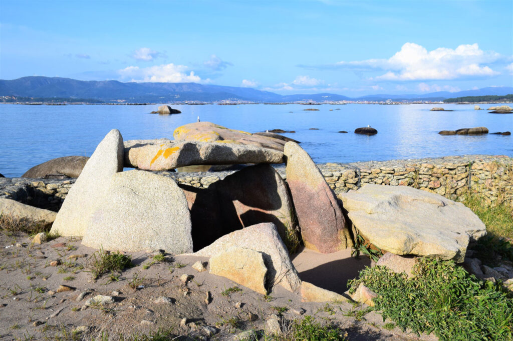
Megalithic monuments can be found on the island. There are indications that the islet was inhabited during the Bronze Age and the Neolithic period. This fact, which at first sight could be difficult to understand, has a geological explanation; about 3000 years ago, the sea level was below the current one, so it is most likely that this islet was part of a peninsula joined to Arousa island, only this would explain the existence of the dolmens.
It is a protected natural area, its composition is basically sand and it is surrounded by rocks and corals.
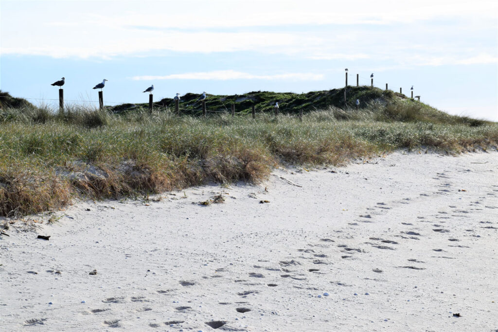
As we have already mentioned, these islets are located in the surroundings of Punta Carreirón and its lagoon, it is a privileged place for birds, not in vain it is recognized as an international zone of special bird´s protection (ZEPA) by the European Union and it is integrated in the Natural Park Complexo Intermareal Umia - O Grove - A Lanzada - Punta do Carreirón e Lagoa de Bodeira.
To learn more
A Dolmen is a megalithic construction consisting of a large horizontal slab supported by several vertical slabs and related to funeral rites.
Flora, fauna, rocks, pure landscape, is what describes Arousa island, 36 km of coastline of which 11 are beaches with fine white sand, such as the Area da Secada beach, with a deserved blue flag and 420 meters long, the Sualaxe beach with its 174 meters long and 30 meters wide is flanked by a pine forest and very close to the Punta Cabalo lighthouse, or Cabodeiro beach, one of the most visited of the island.
It is an ideal environment to participate in dives from which to enjoy the marine flora and fauna. Octopuses lodged in the rocky bottoms cracks, walls colonized by sponges, ascidians and seaweed or the sea´s anemones with their different and striking colours, a world of colour and relaxation within reach of this sport discipline´s fans.
To enjoy its sands we can anchor very close to the beach. The perimeter is limited by a dozen buoys about 100 meters away from the island, and can be accessed by a corridor to drop off and pick up visitors. It is forbidden to sail and anchor within the limited area. The Xidoiro Pedregoso has similar dimensions to the Xidoiro Areoso and although it is formed by stones it has some vegetation.
To know it better
The most interesting places in Arousa are: the lighthouse´s surroundings, Guidoiro Areoso island (near the island of Arousa), Pedregoso island and Carreirón natural park. These are areas that stand out for their vegetation.
Guidoiro Areoso Island is a protected area located in the northern part of Arousa Island. It has almost nine hectares of fine sand and, in the south, there are areas with grass and vegetation. At the end of the 20th century, human actions on the coast began to have an impact on the island, causing alterations in the marine currents. This disruption has caused the destruction of up to five megalithic dolmens, Bronze Age and Iron Age sites. On the other hand, there is the Pedregoso island or Guidoiro Pedregoso, formed by rocks, boulders and more vegetation.
Located in the province of Pontevedra, in the heart of Arousa´s estuary, is the famous Arousa island or A Illa de Arousa (in Galician language). Fishing, mussel farming and shellfish farming are the main commercial activities of its approximately 7,000 inhabitants.
Gallery
Location
- Town
- A Illa de Arousa
- Municipality
- A Illa de Arousa
- Province
- Pontevedra
- Country
- Spain
The asset
- Type
- Islet
- Eco-destination
- Ría de Arousa
- Environment
- Maritime
- Relevance
- International
How to get there
- Access
- By sea By land
- Distance
- 4,100 km
The visit
- Accessible
- No
- Parking
- No
Coordinates
- Latitud
- 42.54113800
- Longitud
- -8.89997200