
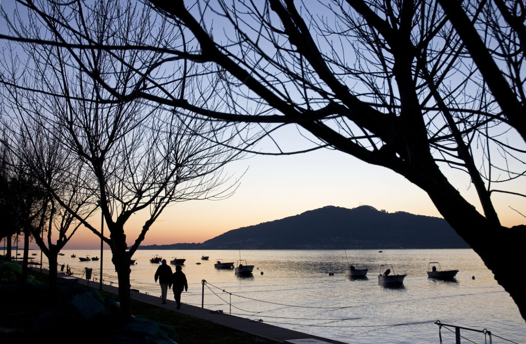
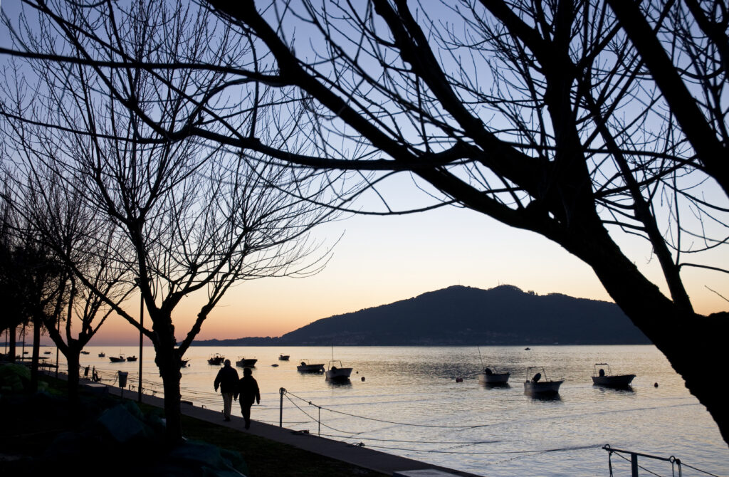
The Leisure Port of Vila Praia de Âncora is a small leisure port located on the Atlantic coast, in the municipality of Caminha, near the mouth of the Âncora River, next to Forte da Lagarteira. It is equipped with an infrastructure for fishing activities and another one dedicated to nautical recreation.
Leisure Port of Vila Praia de Âncora, Caminha
Provincia de Distrito de Viana do Castelo
About this port
Port entrance
Route and approach instructions
At 2 miles to the South, the "Ensenada de Âncora" is formed, which is 0.8 Miles long in the North / South direction with 0.3 Miles of sack. At its ends there are two forts: the one on the S is called Forte do Cáo and the one on the North is called Forte da Lagarteira.
As a navigation aid to facilitate access, a luminous heading to the Heading: 071º is established, formed by two red and white prismatic columns.
The port is formed in the area protected by a 215 m shelter dam (Molhe Oeste) that starts from the coast to the Course: 178º marked at its tip by column with red and white stripes and red light and a 180 m counter dam that part of the beach forming a concave angle that ends at Rumbo 262, also marked out at its point, and which leaves a 65-meter mouth with very little draft (less than 1 m at heeled low tide) and sand and stone bottoms.
North of the port in the Lagarteira fort, the signal mast rises, where, when the entrance is impractical, a red light is turned on. From the west wall of the fortress, emit a foghorn.
There is no good shelter space within this facility. With little sea and wind, it is better not to attempt the approach.
If weather conditions allow it, it is possible to anchor in depths of 2 to 4 meters in front of the dike. Bear in mind that the north wind, although in the morning the breeze blows out to sea, can end up making anchoring uncomfortable.
Gallery
Location
- Address
- Capitania do Porto de Caminha Delegação Marítima de Vila Praia de ÂncoraForte da Lagarteira - Campo do Castelo
- Municipality
- Caminha
- Province
- Distrito de Viana do Castelo
- Country
- Portugal
- Postal code
- 4910-430
Contact
- Phone
- +351 258 100 320
Coordinates
- Latitud
- 41.81528100
- Longitud
- -8.86703100
The port
- Eco-destination
- Costa Litoral Norte
- Environment
- Urban