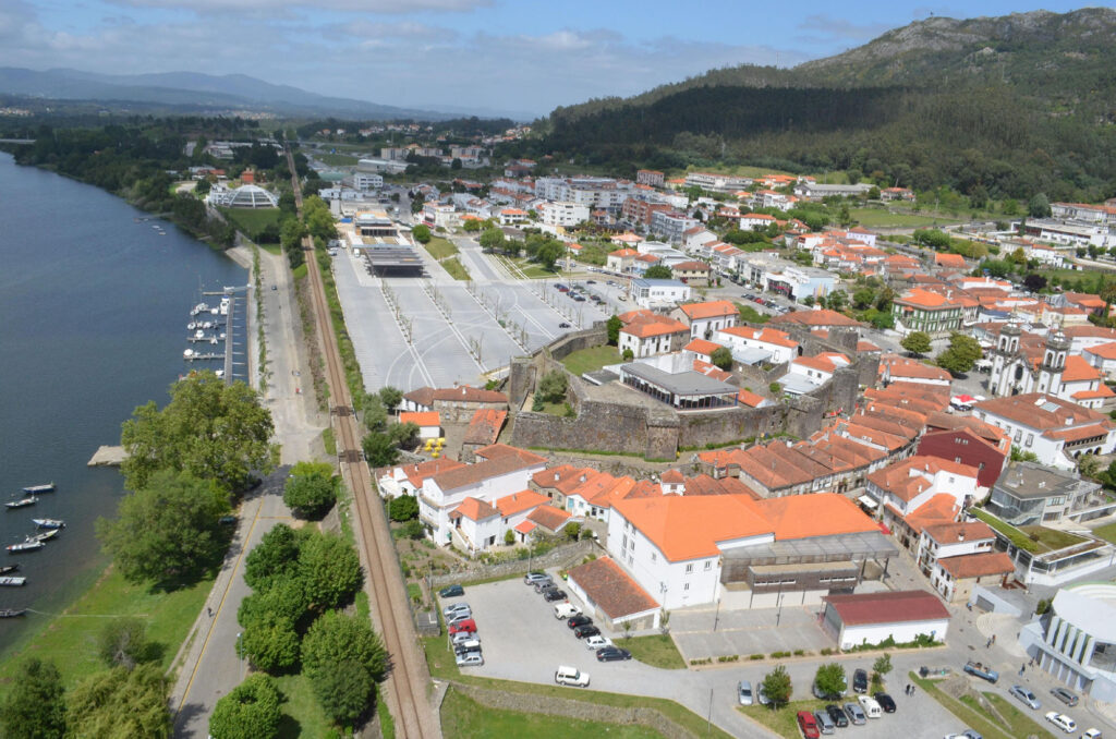
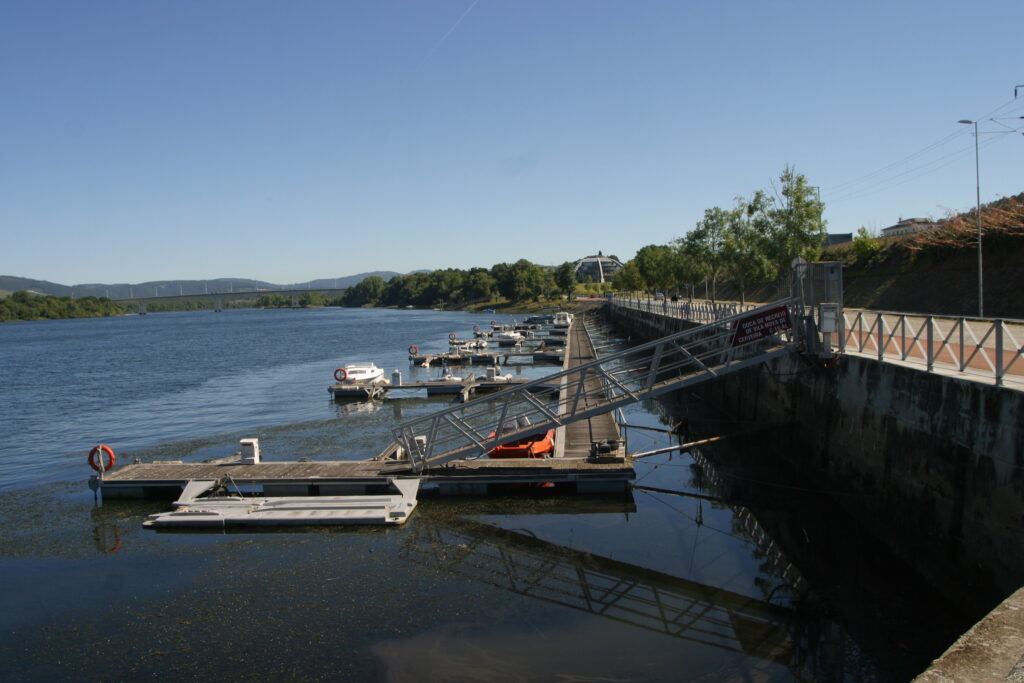
Port entrance
Route and approach instructions
This route is only navigable at high tide. The route along the Portuguese shore may have complications near Caminha. It is necessary to stay close to the Seixas shoreline.
The chart, due to its extension, starts from wp Lanhelas 41°54'50.56"N 8°47'28.64"W to navigate through the channel between the islands of Os Amores and A Boega due to lack of water on the Spanish shore corresponding to the Eiras beach.
In all parts of the Miño, it is very advisable to maintain constant vigilance for possible UFOS (unidentified floating objects) such as logs, etc., especially after rain events that carry debris in the current.
1 Moledo sand tongue 41°52'18.78"N 8°51'51.55"W
2 Oliveiras shoal 41°52'49.64"N 8°51'3.02"W
3 Paxase 41°53'22.32"N 8°50'49.34"W
4 Seixas 41°54'4.18"N 8°48'56.41"W
5 Seixas 2 41°54'9.20"N 8°48'48.45"W
6 Seixas 3 41°54'8.83"N 41°54'8.83"N
7 Lanhelas 41°54'50.56"N 8°47'28.64"W
8 Lanhelas 2 41°54'57.50"N 8°47'15.10"W
9 Ilha dos Amores 41°55'18.26"N 8°46'24.86"W
10 Ilha da Boega 41°55'33.86"N 8°45'28.85"W
11 Boega 2 41°55'52.74"N 8°45'14.61"W
12 Cerveira 41°56'24.33"N 8°44'59.01"W
13 Vilanova Cerveira Pier 41°56'28.06"N 8°44'46.57"W