Port entrance
Route and approach instructions
The Miño River is entered between Punta de Los Picos, which is the southern end of the slopes of Monte de Santa Tecla, and Ponta Ruiva 0.8 miles south. It flows south to the border with Portugal, where it turns west, for a distance of 130 miles, forming the boundary between Spain and Portugal.
The Illa de Insua, a low islet crowned by a fort, is located in the middle of the entrance. A light is shown from a structure located on the fort. The entrance channels are on both sides of this islet. The northern channel is wider, but the southern channel is reported to be the only one used as it is deeper. Shoals and rocks obstruct both channels and are subject to change.
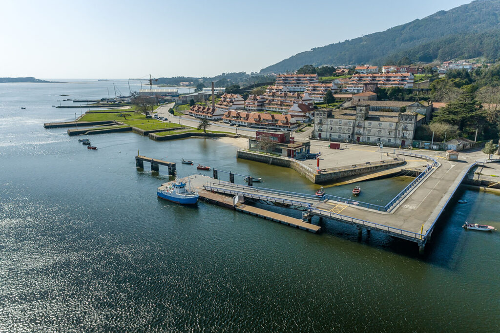
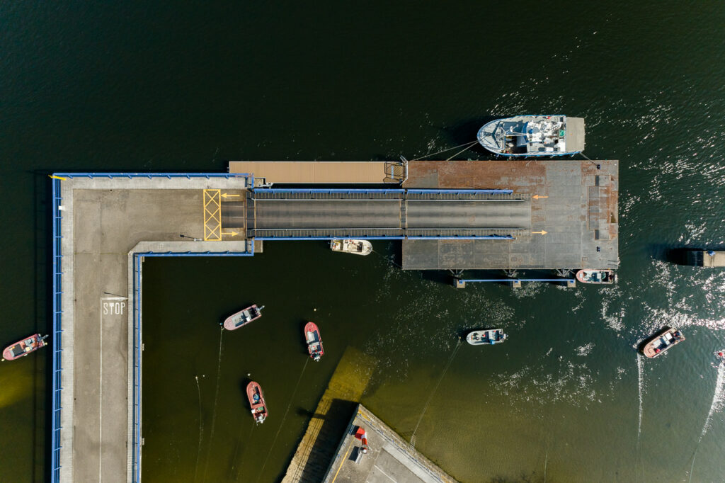
The river is navigable with the tide, with drafts up to 2 meters, up to Valença do Minho, 15 miles above the entrance. However, its course is interrupted by numerous islets and sandbanks. At the height of Camiña, there is a channel used by the ferry that runs from Camiña to Camposancos; it is advisable to use this marked channel to access the port of Camposancos.
Tidal currents, over the bar and inside the river, generally reach speeds of around 3 knots, but during currents, the ebb current can reach speeds of 4 to 5 knots.