


Isla de Arosa

About this heritage
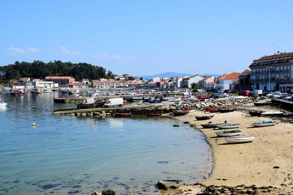
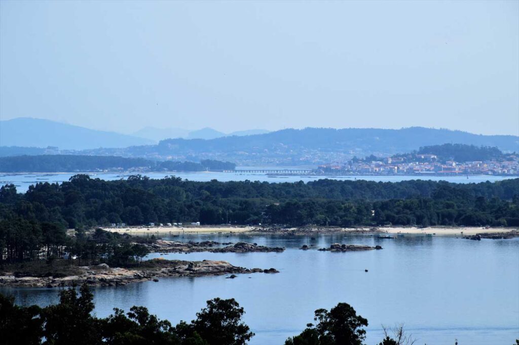
Isla de Arousa is the largest and most populated island in Galicia, with just over 5,000 permanent residents, although its population increases significantly during the high season due to its tourist appeal. It is located in the Rías Baixas of Galicia, in the Salnés region, province of Pontevedra. The island has been connected to the mainland since 1985 by a 2 km long bridge, making visiting this beautiful island much easier. Flora, fauna, rocks, and pure landscape define Isla de Arosa, with 36 km of coastline, of which 11 km are beaches with fine white sand, such as Área da Secada beach, a beach with a well-deserved Blue Flag and 420 meters long; Sualaxe beach, which is 174 meters long and 30 meters wide, flanked by a pine forest and very close to the Punta Cabalo lighthouse; and Cabodeiro beach, one of the most visited on the island. It features very interesting natural spaces, such as Punta Carreirón and its lagoon, a privileged place for birds, recognized as an international special protection area for birds (SPA) by the European Union and integrated into the Natural Park Complex Intertidal Umia - O Grove - A Lanzada - Punta do Carreirón and Lagoa de Bodeira. In this environment, we also find the islets of Areoso and Pedregoso.
To learn more
Isla de Arosa is a top-tier tourist destination due to the natural wealth it offers its visitors. It is a town that provides all the services visitors may require. From the Con do Forno viewpoint, you can get a true panoramic view of the town. The Punta Cabalo Lighthouse, its 4 ports, the Parish Church of San Xulián, and the stone image of the Virxe do Carme on the Paseo Marítimo do Cantiño. Walks, trails, mills. Isla Xidoiros Areoso is an islet located inside the Ría de Arousa, approximately just over 1 km from Isla de Arousa. Its beauty is comparable to any idyllic Caribbean beach. It lies west of Isla de Arousa, within the Parque Carreirón area. It is the largest islet of the Rúa and Xidoiros archipelago and measures 600 m at its longest part. The island contains megalithic monuments. Isla de Arousa is also about gastronomy and tradition. Its privileged location allows you to enjoy a wide variety of products from the sea. From sea to plate, can you imagine it? Mussels, octopus, razor clams, and other fish will make your visit unforgettable. Isla de Arousa has more than 80 beaches and coves, all different in shape and size, created by the force of the sea and erosion.
To know it better
Isla de Arosa, located in the province of Pontevedra, has several ports, with Xufre being the most important. Additionally, the docks of O Campo, A Ribeira do Chazo, O Naval, and O Cabodeiro are also well known. Its beaches form privileged spaces of fine white sand. Among them are Área da Secada, A Lavanqueira, O Bao, Camaxe, Carreirón, Espiñeiro, and O Cabodeiro. At the top of the island is the Santo viewpoint, where panoramic views of the town and island can be seen. Since 1852, the island has had the Punta Cabalo Lighthouse. It was built by engineer Celedonio de Uribe, although today its use has been adapted to become a restaurant. The famous Isla de Arosa or A Illa de Arousa lies in the heart of the Ría de Arousa. Around 7,000 inhabitants live in this municipality, most of whom are dedicated to fishing, mussel farming, and shellfishing.
Gallery
Location
- Town
- Isla de Arousa
- Municipality
- A Illa de Arousa
- Province
- Pontevedra
- Country
- Spain
The asset
- Type
- Island
- Eco-destination
- Ría de Arousa
- Environment
- Natural
- Relevance
- International
How to get there
- Access
- By sea By land
- Distance
- 0 km
The visit
- Visitable
- Yes
- Accessible
- No
- Parking
- Sí
- Website
- ailladearousa.com/
Coordinates
- Latitud
- 42.55044400
- Longitud
- -8.86861000