
Betanzos. Riverside Walk of Los Caneiros

About this heritage
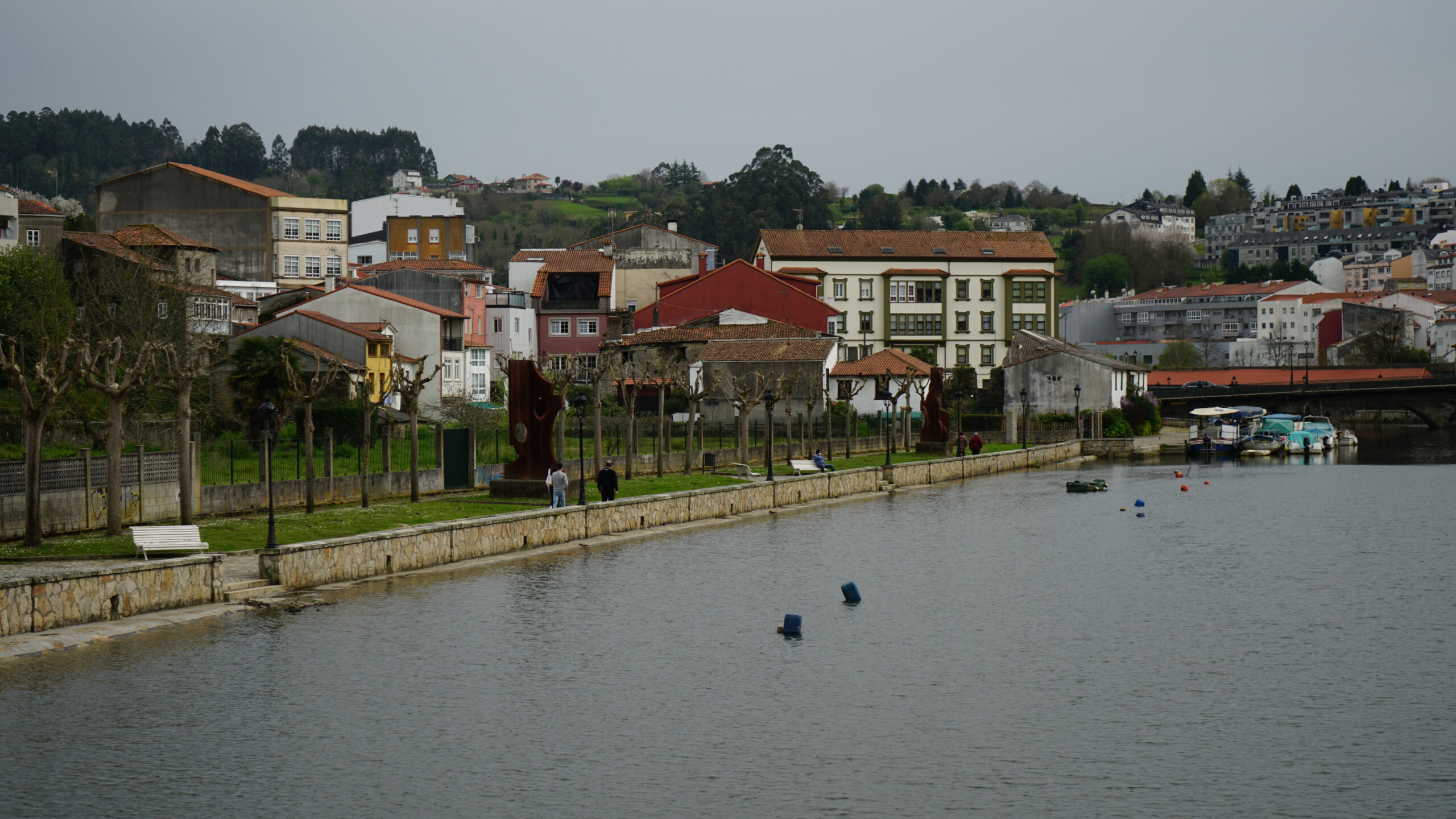
The Mariñas Coruñesas and Terras del Mandeo Biosphere Reserve" encompasses the territory of 17 municipalities: Abegondo, Aranga, Arteixo, Bergondo, Cambre, Carral, Coirós, Culleredo, Curtis, Irixoa, Miño, Oleiros, Oza-Cesuras, Paderne, Sada, Sobrado, and Betanzos, where the riverside walk dos Caneiros is located. In these two large basins, those of the Mero and Mandeo rivers, natural forests full of river corridors stand out, hosting much of the relevant biodiversity of the Reserve, offering us a multitude of activities to discover, such as enjoying a hiking route along the Camino fluvial dos Caneiros on the banks of the Mandeo river. The route is a round trip along the same path. It starts at the Puente Viejo, in the urban center of the town of Betanzos. Due to its layout, the route is considered low difficulty, running along the Mandeo river and reaching the popular Campo de Os Caneiros, the site of the important Romería dos Caneiros as part of the San Roque festival. Besides this route, in the Mariñas Coruñesas and Terra do Mandeo Biosphere Reserve you can undertake: birdwatching routes of "O Bosque Animado" at the Abegondo-Cecebre Reservoir or the Mandeo birdwatching observatories, as well as cycling routes or Coastal Routes along 109 kilometers. The visitor center located in Chelo has all the necessary information to explore this environment. The interpretation center is equipped with an interesting permanent exhibition about the environmental values of this natural space, with the information you need about the itinerary and its surroundings. Betanzos boasts one of the most important historic-artistic ensembles in the community, and a section of the English Way of the Camino de Santiago passes through its streets. It is worth remembering that this town was the capital of one of the seven provinces of the old Kingdom of Galicia. The path runs along Rúa Prateiros to reach the central square of Irmáns García Naveira.
To learn more
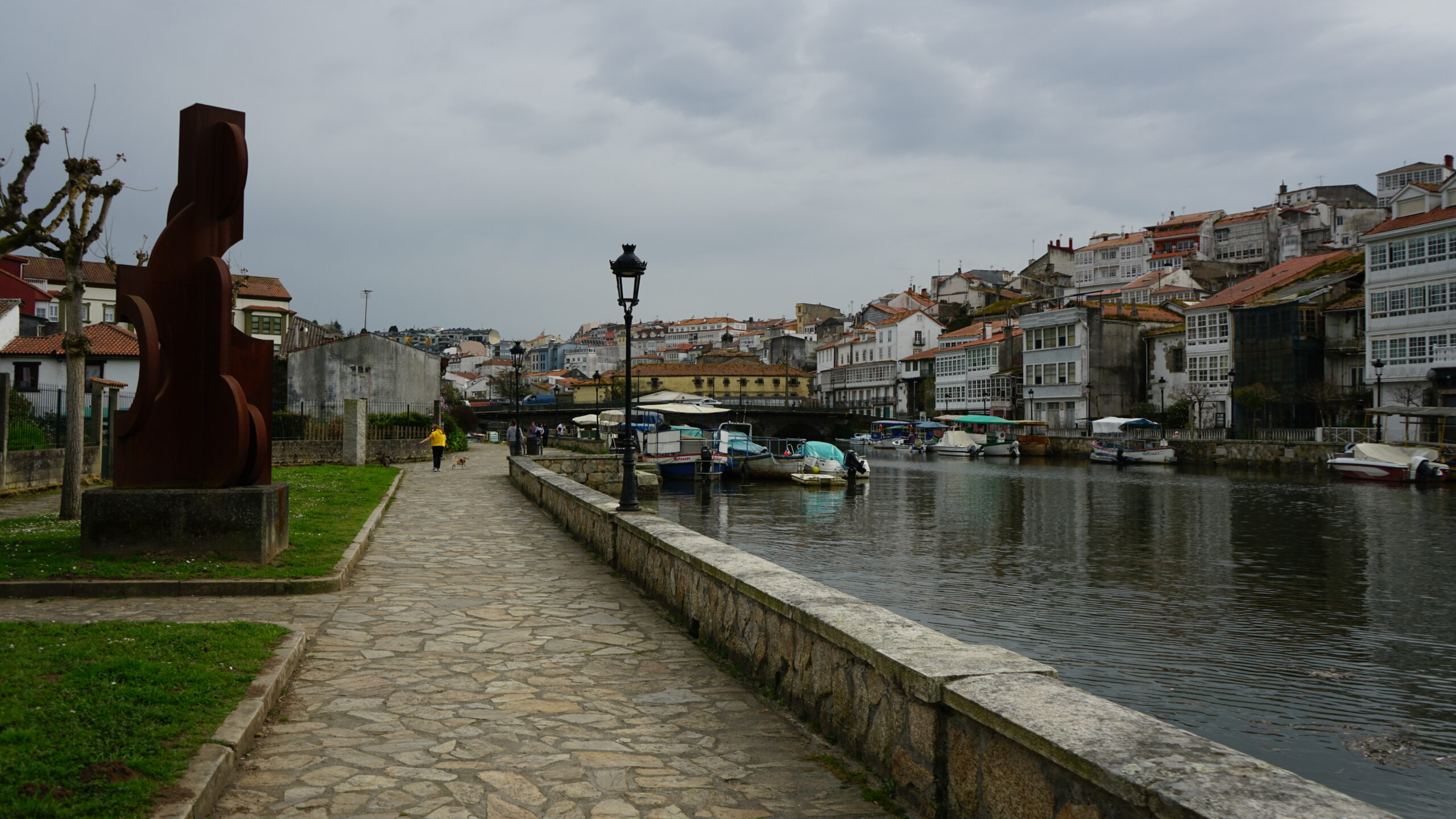
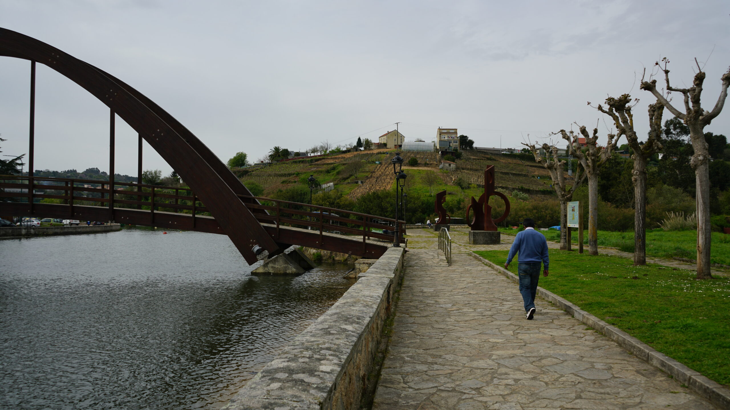
The riverside walk of Los Caneiros is located in the municipality of Betanzos in the province of A Coruña, and belongs to the Mandeo Project (SM or Sendas del Mandeo). It is a linear route that is done as a round trip along the same steps. It has a length of 3.56 kilometers, is low difficulty, with a maximum altitude of 42 meters and a minimum of 8 meters. It includes some asphalt sections, but most of the route runs through natural spaces, surrounded by riparian forest of alders and ashes. It begins in the area called Ponte Vella, has a wooden footbridge running along the Mandeo river, and ends at the Campo de Os Caneiros, an open area where the Romería dos Caneiros is held every year as part of the festivities in honor of San Roque in mid-August. This walk is linked to the Mandeo Interpretation Center, located in the place called Chelo, at the foot of Mount Espenuca. The latter was declared a picturesque landscape and the whole area is a reference point for natural and environmental knowledge of the middle basin of the Mandeo river. It also stands out for its native vegetation. Some of the natural habitats of this space are of priority interest for conservation. This nature interpretation center offers a permanent interactive exhibition on the environmental values of this natural space. The estuary, the lower course and part of the middle course of the Mandeo river, along with part of a tributary of the Zarzo river, the lower stretch of the Mendo river, and the mouth of the Lambre river form a protected natural area that is part of the Natura 2000 Network, a European network for biodiversity conservation. In the Mandeo river there are several threatened species, such as the March daffodil and relict ferns from the Tertiary like Woodwardia radicans, also known as summit fern, which are threatened by tree felling. Mollusks such as the river mussel, the Quimper snail or spotted snail, are also threatened, as is the salmon. Among amphibians, the long-tailed salamander stands out, as well as the white-throated dipper, the tawny owl, bats, and other protected mammals such as the Iberian desman or the otter. All of them are included in the Galician catalog of threatened species.
To know it better
The Galician municipality of Betanzos, also known as Betanzos de los Caballeros" in A Coruña, is located in the Rías Altas of Galicia and its urban center is situated on a hill very close to the Mandeo and Mendo rivers. According to the history of Galicia, Betanzos was one of the seven provinces that formed the old Kingdom of Galicia. Furthermore, when civilization settled, Betanzos was characterized by its wall, and during the Middle Ages, it had a lot of commercial activity, mainly related to fishing. One of the most well-known festivals of this municipality is that of San Roque. At the same time, the most important pagan pilgrimage in Galicia is celebrated, known as "Os Caneiros," along with the release of the paper balloon in honor of San Roque. The pilgrimage takes place in the Campo de los Caneiros, near the course of the Mandeo river. In this area, we can find a riverside walk where you can enjoy the nature of its forest in full splendor. Additionally, you can also enjoy a ride in the typical boats of Betanzos, known as Caneiros. They are colorful and during the San Juan festivities in August, they are usually decorated with flowers such as orchids. The riverside walk is known for offering visitors and locals a route of about three and a half kilometers that starts at A Ponte Vella and ends at the Campo de los Caneiros itself.
Gallery
Location
- Town
- Betanzos
- Municipality
- Betanzos
- Province
- A Coruña
- Country
- Spain
The asset
- Type
- Promenade
- Eco-destination
- Rías de Ares y Betanzos
- Environment
- Rural
- Relevance
- Regional
How to get there
- Distance
- 3,000 km
The visit
- Visitable
- Yes
- Accessible
- No
- Parking
- No
Coordinates
- Latitud
- 43.27902312890573
- Longitud
- -8.183261843168813