
Panxón – Monteferro – Millenary Rocks – Coastal Artillery
About this heritage
Panxón is one of the seven parishes that make up the Nigrán County in Pontevedra. Its neighboring towns are Vigo, Gondomar, and Baiona. The Vigo estuary and the Atlantic Ocean bath its coasts.
Panxón, the Monte Ferro with its millenary rocks, or the coastal artillery that once served to dissuade those who had among their intentions to invade Spanish territory make up a route called the Blue Cost Path Playa América-Panxón (Senda Azul Litoral).
The route is ten kilometers long and runs along the coast from the Romanesque Bridge of A Ramallosa.
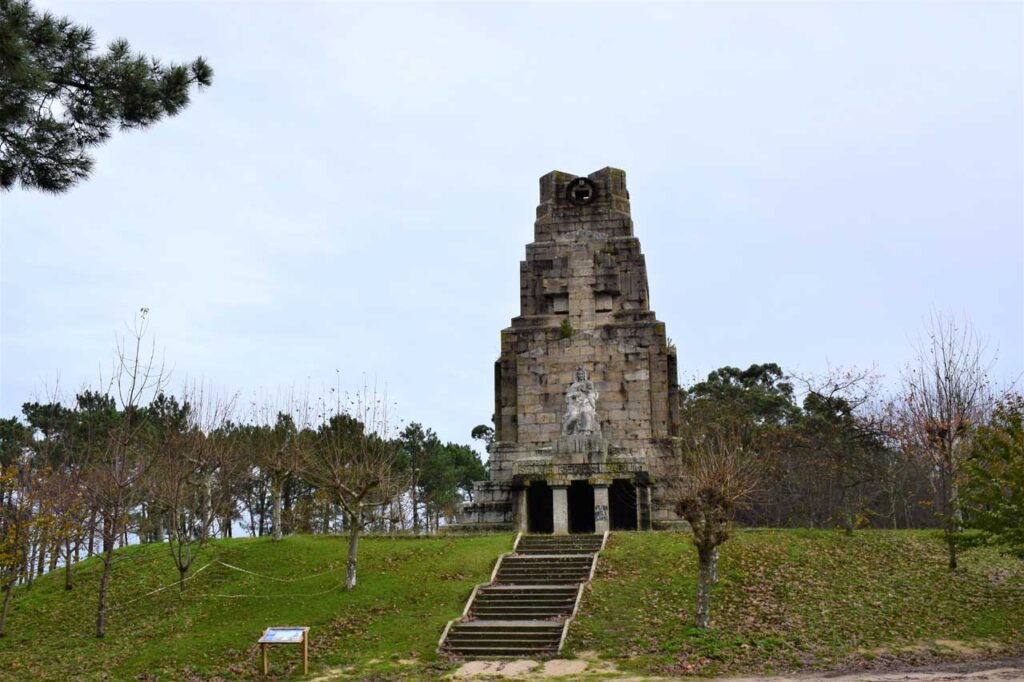
Monte Ferro, with its millenary rocks, is one of the most significant spots of the area from a geological point of view. It is a stretch of land going into the sea a kilometer and a half. At its highest point, one finds a monument from 1903 created by the Vigo sculptor Manuel Gómez Román and inaugurated in 1924. Its purpose was to welcome from afar travelers from other countries. After the effort of the walk, the enjoyment of the extraordinary views towards the mouth of the Bayona estuary, the Estelas Islands, and particularly the omnipresent Cíes Islands is the visitors more than deserved reward.
On the northwest slope of Monte Ferro, one can see the ruins of its Military Barracks. This is defensive artillery constituted by six units line up along the path that embroidering the mountain.
To learn more
Nigrán is in the south of the Pontevedra province. It is a tourist town with a permanent population of about 18,000 inhabitants, but its population triples during the holiday season. It is a privileged location since it is only twelve kilometers from Vigo airport and less than a hundred kilometers from Santiago de Compostela. As previously mentioned, Panxón is a parish of Nigrán. It has sports facilities as an alternative to nautical sports, among others, basketball and football, which join the environment with the installation of goals on the beach.
Regarding the Blue Path, it starts at the Romanesque Bridge of La Ramallosa, passing through Playa America, Panxón, and la Madorra Beach. One can walk up Monteferro through Área Fofa, passing by the Penisas petroglyph, and then to the military artillery, where two choices presented, going up to the viewpoint or down to the lighthouse.
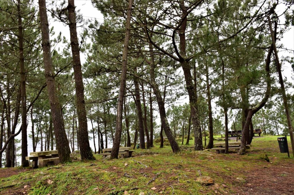
During the visit to the coastal artillery, anyone can appreciate the dimensions of these artifacts, since they are physically there. For the most knowledgeable, the cannons are Munaiz-Argüelles 150/45 type made of fifteen centimeters steel and weighing 6,300 kg. Their range was more than thirteen kilometers, and there are two watchtowers, one at each end. The area has stone tables with benches, in case visitors desire to sit and contemplate the views or take advantage of the opportunity to have a well-deserved snack.
To know it better
Nigrán County is in the Pontevedra province, specifically, in the Val Miñor region, which is in Vigo's area of influence.
Panxón is one of its seafaring towns. With its port and maritime club, it has become one of the most popular destinations for a day at the beach, a stroll by the sea, or even water sports. An architect from Porriño, Antonio Palacios, designed the 1937 parish church of Panxón, known as the Votive Temple of the Sea (Templo Votivo del Mar), which stands out for its impressive structure.
Between Panxón town and Patos beach is Monteferro, a mountain surrounded by cliffs. It offers magnificent views of Bayona, the Estelas Islands, and the Cíes Islands.
Monteferro, apart from its extensive trees and flora, contains the remains of an abandoned military base, cannons that defended the coast, sentries, and barracks.
Gallery
Location
- Locality
- Panxón
- Municipality
- Nigrán
- Province
- Pontevedra
- Country
- Spain
The asset
- Type
- Hill
- Eco-destination
- Ría de Vigo
- Environment
- Rural
- Relevance
- International
How to get there
- Access
- By sea By land
- Port
- Puerto de Panxón
- Distance
- 2,300 km
The visit
- Visitable
- Yes
- Accessible
- Sí
- Parking
- Sí
Coordinates
- Latitud
- 42.15308800
- Longitud
- -8.84146600