


Pontevedra. Lérez river. General
About this heritage
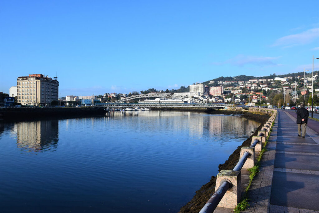
The Lérez river is a place of Community Importance, which means that it is a protected area. In Spain, Law 42/2007 of 13th December 2007 on Natural Heritage and Biodiversity defines them as "those areas of the whole national territory or of the maritime waters under national sovereignty or jurisdiction, including the exclusive economic zone and the continental shelf, which significantly contribute to the maintenance or, where appropriate, to the restoration of the favourable state of conservation of the natural habitat types and the habitats of the Community interest species in their natural range".
It has its source in the Candán mountain range, enters through Cotobade and Campo Lameiro in the lands of Pontevedra and crosses it to the mouth of the estuary. It crosses the province along 57 kilometres, running through a valley characterised by the variety of rocks it leaves behind.
This river has a path of 6 kilometres, the path starts at the river beach and runs along the river bank to Bora´s parish, passing through old forest paths, leafy riverside woods and the remains of old mills. It is of low difficulty, ideal for walking or cycling with the whole family.
The path of the Lérez river, is a LIC (Place of Community Importance) area, an area of community importance for its potential contribution to restoring the natural habitat, including ecosystems and biodiversity of fauna and flora.
To learn more
The Lérez river has its source in the Candán mountain range, one of the rainiest areas of the Galician mountains and which separates the provinces of Pontevedra and Orense. In the Candán mountain range the average annual rainfall exceeds 2,000 millimetres. The Lérez enters the lands of Pontevedra through Cotobade and Campo Lameiro, to cross Pontevedra to the mouth of the estuary.
The Lérez River crosses the province of Pontevedra from side to side along its 57 kilometres, running through a valley that is characterised by the fact that it is a place where you can find various types of rocks, such as medium grade metamorphic rocks that are formed by minerals such as mica, chlorite, talc, granite, quartz and feldspar.
On the banks of the Lérez river, between Campo Lameiro and Cotobade, there is one of the most amazing concentrations of Bronze Age petroglyphs in Europe. They stand out for their deer hunting scenes and circular combinations. In this area, an Archaeological Park Interpretation Centre is planned to be located on Mount Paradela. The natural space coincides with well-known fishing preserves of the Lérez and some tributaries such as the Almofrei. There are also fluvial recreation areas and paths between mills and bridges.
The Lérez river is a paradise for people who love fishing, the purity of its waters and its environment makes it an ideal place for the practice of this sport, the most common fish are salmon, trout and brown trout.
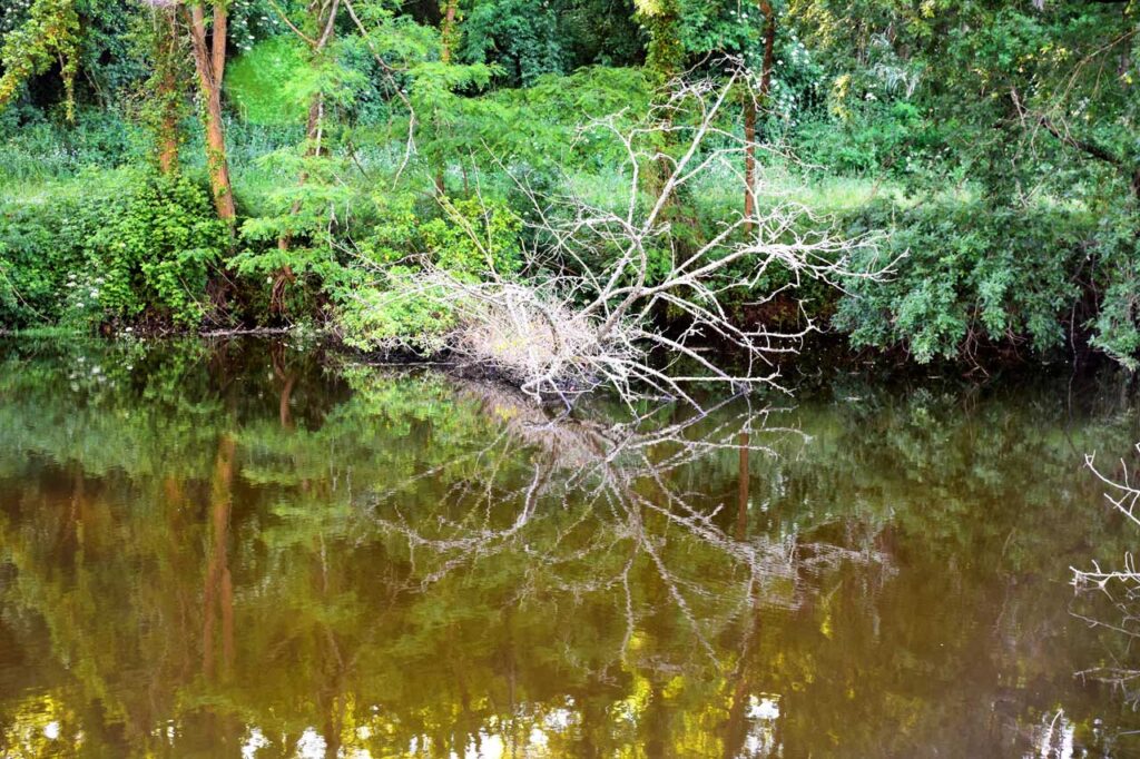
The river has a path that is catalogued as a LIC area (Place of Community Importance), an area of community importance. It is a linear route of about six kilometres of low difficulty, in which you can discover the different fluvial means of the low section of the river, in addition to different native forest means (willows and oaks).
To know it better
The Lérez river passes through the city of Pontevedra. This river has its source in Monte de San Bieito (Candán mountain range), in the parish of Aciveiro in the municipality of Forcarei, in Pontevedra, and flows into the Atlantic Ocean, forming the Pontevedra estuary, between the town of Poio and the city of Pontevedra.
The river enters Pontevedra through Cotobade and Campo Lameiro, and then crosses the city to the mouth of the estuary. This fluvial course crosses the province from side to side through its 57 kilometres. The zig-zagging route is constant until the mouth of the river.
Located in the northwest of the Iberian Peninsula, Pontevedra is an administrative, monumental, tourist and service provider city. A city of art and history with a monumental area that, after Santiago de Compostela, is the most important in Galicia
Gallery
Location
- Town
- Pontevedra
- Municipality
- Pontevedra
- Province
- Pontevedra
- Country
- Spain
The asset
- Type
- River
- Eco-destination
- Ría de Pontevedra
- Environment
- urban & Rural
- Relevance
- Internacional
How to get there
- Access
- By sea By land
- Distance
- 0.000km
The visit
- Visitable
- Yes
- Accessible
- No
- Parking
- No
Coordinates
- Latitud
- 42.42177800
- Longitud
- -8.66685400