


Vigo Estuary
About this heritage
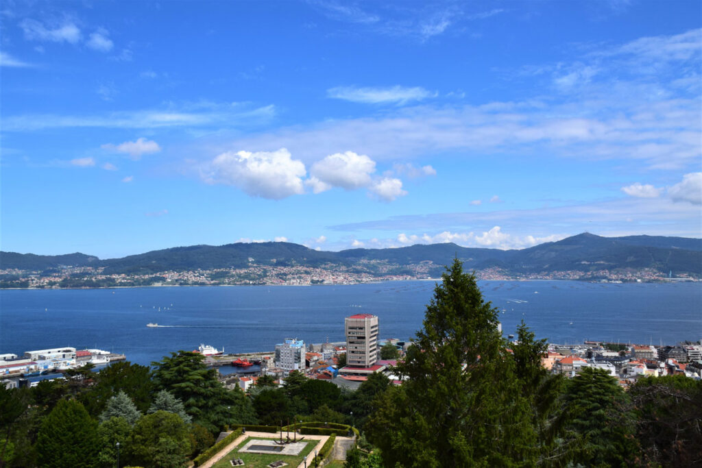
An estuary is a geomorphological accident caused by the penetration of the sea at the mouth of a river. Thus, an estuary could be defined as the shape formed by the river's mouth in cases where a coastal valley is submerged in the sea as a result of a rise in its level.
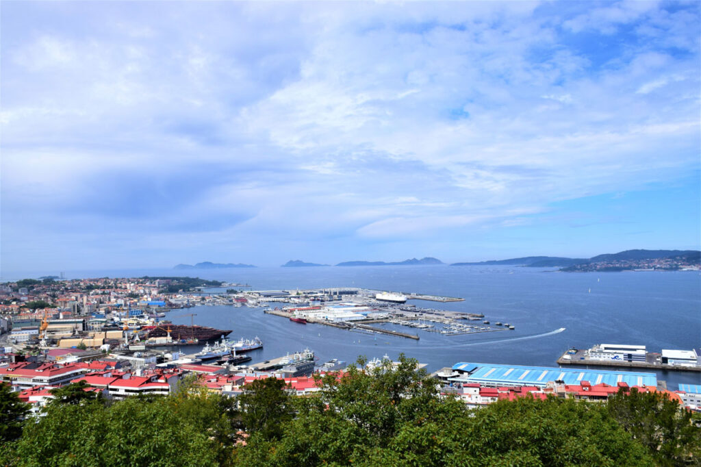
Vigo is the most populated city in Galicia, and at its base is the estuary that bears his name. This estuary is in the South Estuaries of Galicia (Rías Baixas) and is the longest – approximately 33 kilometers long and 15 kilometers wide – and the southernmost. It is in the province of Pontevedra, and on its banks are the villages of Cangas do Morrazo, Moaña, Redondela, and Arcade, as well as the town of Baiona, which is in a small inlet of the estuary.
The estuary has two entrances each marked by a Cape, one to the north at "Cabo Home" and the other to the south "Cabo Silleiro," then, from west to east, there are three sections within the estuary: the first goes from "Punta Balea" to "Punta do Muiño," which is the stretch most open to the ocean but protected by the Cíes Islands; the medial goes from the previous one to the Rande Strait, where the distance between the banks of the estuary narrows to 700 meters; the end formed by Saint Simon Cove
To learn more
The Vigo estuary is the longest with approximately 33 kilometers long and 15 kilometers wide. This estuary has excellent characteristics for sailing and aquatic sports; thus, nautical activities are carried out along the length and width of its waters. At the mouth of the estuary is the Cíes Archipelago formed by the Northern or Monteagudo Island, the Middle or the Island of the Lighthouse, and the Southern or Saint Martin (San Martiño) Island. This set of islands is integrated within the Terrestrial Maritime National Park of the Galicia’s Atlantic Islands, along with the archipelagos of Ons, Sálvora, and Cortegada.
In the middle stretch of this estuary, where the Rande Bridge stands, its width is reduced to 700 meters. Built-in 1978, this bridge designed by the Italian engineer Fabrizio de Miranda is made up of braces and joins the banks of the Rande strait with is 1558 meters of length. The road is 45 meters above sea level and forms part of the Vigo-A Coruña section of the Atlantic highway. It was inaugurated in 1981, constitutes one of the most modern and innovative constructions of this type of buildings at that time. In the innermost stretch of the estuary is the cove of Saint Simón, made up of two islands: the islands of Saint Simón and Saint Anthony, which are joined by a bridge.
To know it better
An estuary is a geomorphological accident, a sea arm that penetrates the coast. Just so is the Vigo estuary, which is the southernmost of the South estuaries (Rías Baixas) of Galicia.
Vigo Estuary is protected from the Atlantic Ocean by the Cíes Islands. It has several other treasures, such as Saint Simon cove and the dozens of sunken galleons loaded with gold, silver, and precious stones from the Americas.
Thanks to the navigational characteristics, everyone can enjoy its landscapes and the views of the Cíes Islands as well as practice all kinds of nautical sports and activities.
Within the Vigo estuary, there is the Rande Bridge designed by the Italian engineer Fabrizio de Miranda in 1978 and inaugurated in 1981, and one of the most modern and innovative engineering constructions in the world in this type of structure.
Gallery
Location
- Town
- Vigo
- Municipality
- Vigo
- Province
- Pontevedra
- Country
- Spain
The asset
- Type
- Estuary
- Eco-destination
- Ría de Vigo
- Environment
- urban
- Relevance
- Internacional
How to get there
- Access
- By sea By land
- Distance
- 0,000km
The visit
- Visitable
- Yes
- Accessible
- No
- Parking
- No
Coordinates
- Latitud
- 42.24238700
- Longitud
- -8.72325700