


Vilagarcía de Arousa. Historical center. Seafaring district and commercial port. Modernist buildings
About this heritage
Vilagarcía de Arousa town hall is in the O Salnés region in the Pontevedra province. It shares the Arousa Estuary with Rianxo, located in the opposite margin of its banks. Bathed by the Con River, this crosses it from its source on Mount Xiabre to the reservoir at its mouth. It has become an essential tourist center in Galicia, forming part of its identity and history.
Thanks to its excellent location, which links it to any point in the South Estuaries (Rías Baixas), it has a significant commercial and sports port, active since the mid-19th century. In 1458, Archbishop García-Caamaño founded the seafaring town of "Villa of García," which, over the years, has become a thriving commercial center. Its free markets, held since 1744, attracted a multitude of inhabitants from all over the Arousa Estuary. The current Vilagarcía was born in 1913 with the integration of the town halls of Carril and Vilaxoán.
The route through the historical center of Vilagarcía de Arousa gets reacher with every step taken around its streets and pedestrianized squares. The Ravella square stands out, where everyone can see the late 19th-century town hall, emulating the old French palaces. The route continues to the Independence Square, formerly the Market Square, and home of the "picota," to stop in the Square of Spain, a shelter of ancient trees. Right in front of it, the parish church joined by a stone bridge, also for pedestrians, ends in a Lordly House (Pazo), integrated into the Vistalegre complex. From there, visitors can reach the Alobre Fortress (Castro), the cradle of the city, and at the foot of which, one finds the Enrique Valdés Botanical Park, founded in the thirties, with species from all over the world.
Following by the most commercial area, its Food Market (Plaza de Abastos), renowned regionalist architecture from the end of the twenties, hosts the popular O Castro Neighborhood, which was the first seafaring neighborhood of the town. This place, chosen by the anglers to build their houses for its proximity to Alobre, was the origin of Vilagarcía. Here, visitors can still observe examples of the seafaring constructions, called "Casas Del Pincho" ("Skewer Houses"), which are very close to the Fish Market, a remarkable building of the 19th century Iron architecture. Today, it is a center for meetings and cultural events. Highlight, the Alameda and the Baldosa and Valentín Viqueira streets, hotel epicenters of this magnificent town are the culmination of its past and present.
To learn more
Although Vilagarcía de Arousa is a relatively modern city – its current configuration was mainly developed in the second half of the 20th century – it still has corners that reflect its immense past since founded in the mid-15th century. Located in the O Salnés region, the Con River crosses it, forming part of its identity and history.
Currently, Vilagarcía de Arousa is a renowned tourist center in Galicia, thanks to its exceptional location; it has an excellent connection with any point of the South Estuaries (Rias Baixas). On top of that, it has blue flag wide beaches, extensive natural areas, parks, hiking trails, such as Sarmiento or Cortegada, as well as Lordly Houses (Pazos), which are full of history.
As in many other places in Galicia, in Vilagarcía, they have found signs of human settlements dating back to the second millennium BC. Within the prehistoric period, but closer in our time, there are traces of Celtic populations that inhabited this area in several fortresses, called "Castros," whose remains still visible in the surroundings. Later, the Romans colonized these Castros, and its road called "Per Loca Marítima" (the Roman route nº XX) crossed this territory.
In 1458, Archbishop García-Caamaño founded the seafaring town of "Villa of García." Over the years, this city would become a thriving trade center; always in opposition to the neighboring Villa of Carril, whose port was one of the best in Galicia. However, the free markets celebrated in Vilagarcía since 1744, assembled more and more people, who arrived from various points of the Arousa Estuary. The definitive impulse came in 1860 with the construction of the railway line to join Santiago de Compostela with the Arousa Estuary, giving Vilagarcía a sensitive advantage over Carril.
The current Vilagarcía de Arousa was born on March 1, 1913, when the Carril, Vilaxoán, and Vilagarcía town halls joined. Today, it has an intense economic activity based on maritime trade, as well as conference and exhibition activity, thanks to its FEXDEGA headquarters, one of the largest fairgrounds in Galicia. It is also an essential tourist site, which awaits its visitors with a generous offer of leisure and activities.
Awarded with the blue flag of the European Community, its beaches in A Concha and Compostela are safe, comfortable, spacious, and clean. The urban area, articulated between the Carril and Vilaxoán towns, has numerous parks and gardens that invite everyone to relax. On top of that, its promenade is the ideal place to walk or bike and contemplate the Port's activity from one of the countless bars and restaurants located there.
In Vilagarcía, visitors can see Christ Street, where one finds the houses of Juan García and the Marquis of Aranda, the Castro Square, the Centenary Gardens, and the Xunqueira Park, green areas par excellence. As far as its historical setting is concerned, there are many civil and religious buildings: the 15th-century Lordly House (Pazo) of Sobrán and the 15th-century Vistalegre structure, an Augustinian Convent cataloged as a Historical-Artistic Monument. Highlight as well, the Rubiáns Estate and its magnificent camellias gardens from the 18th century or the Manor of O Rial from the 17th century, finishing with the 16th-century Manor House of Pardiñas, located in Vilaxoán, as well as the buildings of Golpilleira and Rúa Nova, both from the 17th century.
The religious architecture of Vilagarcía offers excellent examples, such as the 18th-century baroque Church of Santa Baia de Arealonga, the Church of Fontecarmoa, built on top of a 12th-century Romanesque chapel, and from the same period, the Church of San Martín de Sobrá, the most significant monument in town. Opposite the Lordly House (Pazo) of Vistalegre is the 17th-century Church of San Cristóbal and, already in Carril, its impressive 16th-century parish church is well worth a visit. This latter has abundant Baroque elements, housing an altarpiece from the Cathedral of Santiago. As geographical points of interest, the viewpoints of the Lobeira and Xiabre Mountains, with their 159 hectares distributed between the communities of Trabanca, Sardiñeira, and Guillán. Above all, highlight the Cortegada Island, housing the last Laurel forest in Europe.
Vilagarcía has petroglyphs from the second millennium B.C. that testify its inhabitancy since prehistoric times. However, the current city has its origins in the 15th century, when they established the first houses in the O Castro area. This one welcomes the significance of the Castro neighborhood, the first seafaring area of the town. Anglers chose this enclave to build their houses, for their proximity to Alobre, the origin of Vilagarcía. Here, everyone can still observe examples of the seafaring residences, called "Casas Del Pincho" ("Skewer Houses"), which are very close to the Fish Market, a remarkable building of the 19th century Iron architecture. Today, it is a center for meetings and cultural events.
On the other hand, founded around 1490 by Mr. Xoán Mariño de Sotomayor, Vilaxoán became essential at the end of the 18th century, thanks to the Catalan executives who promoted salting industries, in which almost all this town hall's population worked. Today, it still has its seafaring district, with its picturesque and colorful houses, and the Lordly House (Pazo) of Sobrán, which stands on for the foundations of an 11th-century monastery.
Santiago de Carril, commonly known as Carril, is one of the most prominent parishes in the Pontevedra County. Renowned for being one of the most significant seafood towns in Galicia, a large part of its locals live from the sea. It is also known for its festivals, such as the Clams Fair, as well as for many other exciting events, among others, "The Charade or Dance of the Swords" ("La Farsa o Danza de las Espadas"), one of the oldest and most colorful folkloric manifestations of this town.
The local unity arose from the Vilagarcía Port, which, for more than 125 years, has been a reference in the commercial and industrial activity of the Arousa Estuary and Galicia in general. Its excellent location, natural characteristics, and fantastic geographical communications make the Vilagarcía Port an ideal enclave to serve as a base for the distribution of goods to and from wide hinterlands, including the extensive Galician inland area and the northwest of the peninsula, besides the O Salnés and O Barbanza regions.
Through the efforts of the entire port community, this one has made the most of its strengths, perfecting them by creating and making available to its clients and users the infrastructure demanded by their activities. With an almost complete development of its equipment, the significant commitment to add value is the optimization of infrastructures and an improvement in service. Likewise, the Port aims to capture the new traffic and commercial management, which is essential for the reinforcement of Vilagarcía's position in the Galician and national port system.
To know it better
Vilagarcía de Arosa is a small coastal town in the Salnés region in the Pontevedra province. It borders to the North with the Arousa Estuary and the Catoira Town Hall and to the South with the Vilanova de Arousa Town Hall.
Vilagarcía became an essential commercial center, although it has always had the competence of the Carril Port, considered one of the best in Galicia. In the 18th century, Vilagarcía held several markets, registering more and more public. Thanks to its fishing activities and its commercial port, this seafaring district began to grow.
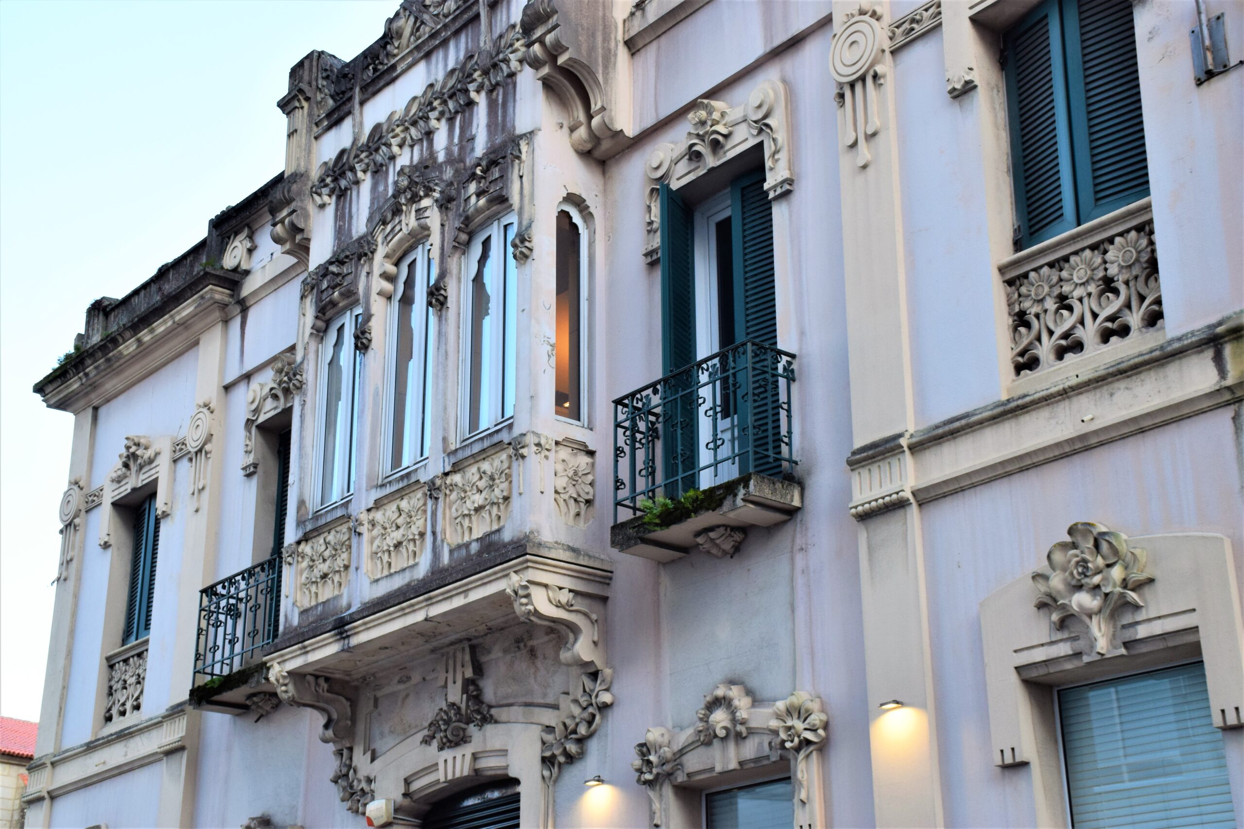
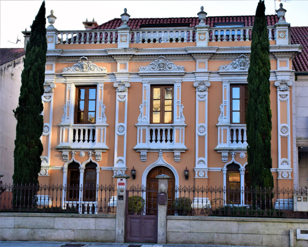
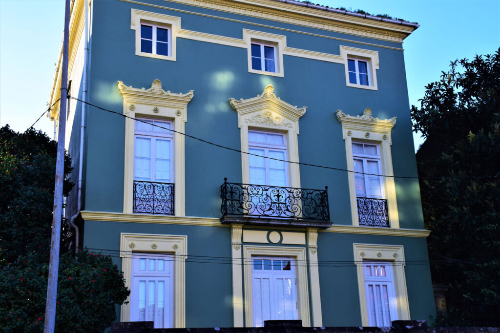
The villa has a series of modernist style houses, such as González Garra's house, "Cachumbala," located on Avenida de Rosalía de Castro, number 31. Built-in the early 1900s, this property marks the beginning of the so-called "Prosperity Neighborhood." Its structure preserves certain original elements, such as the decoration on the window's pediments and women's inexpressive features.
Gallery
Location
- Town
- amplias y limpias, atravesaba este territorio.En 1458 el arzobispo García-Caamaño fundó el burgo marinero de "Villa de García" que, cómodas, con el paso de los años, con extensas playas con bandera azul, cuando se unieron los ayuntamientos de Carril, cuya carretera "Per Loca Marítima", cuyo puerto era considerado uno de los mejores de Galicia. Sin embargo, cuyos restos aún hoy pueden visitarse en los alrededores. Castros que, dando a Vilagarcía una sensible ventaja sobre Carril.La actual Vilagarcía de Arousa nació el 1 de marzo de 1913, en Vilagarcía se han encontrado indicios de asentamientos humanos que datan del II milenio a.C. Siempre en la prehistoria, estando bien comunicada con cualquier punto de las Rías Baixas, fueron colonizados por los romanos, gracias a su excelente ubicación, gracias a su sede de FEXDEGA, la atraviesa el Río Con formando parte de su identidad e historia.Vilagarcía de Arousa es hoy un centro turístico clave en Galicia, los mercados francos que se celebraban en Vilagarcía desde el año 1744, naturaleza y parques, pero más cerca en nuestro tiempo, posteriormente, puesto que se fundó a mediados del siglo XV. Situada en la comarca de O Salnés, rutas de senderismo como la de Sarmiento o las de Cortegada; así como pazos cargados de historia.Como en muchos otros lugares de Galicia, se convertiría en un centro comercial pujante, siempre en competencia con la vecina Villa de Carril, son seguras, surgen vestigios de poblaciones celtas que habitaron el lugar en distintos castros", Vilaxoán y Vilagarcía. Cuenta hoy con una intensa actividad económica basada en el comercio marítimo y la actividad ferial y de congresos
- Municipality
- Vilagarcía de Arousa
- Province
- Pontevedra
- Country
- Spain
The asset
- Type
- Old town
- Eco-destination
- Ría de Arousa
- Environment
- Urban
- Relevance
- International
How to get there
- Access
- By sea By land
- Distance
- 0 km
The visit
- Accessible
- No
- Parking
- No
Coordinates
- Latitud
- 36.598302
- Longitud
- -6.235420