Port entrance
Route and approach instructions
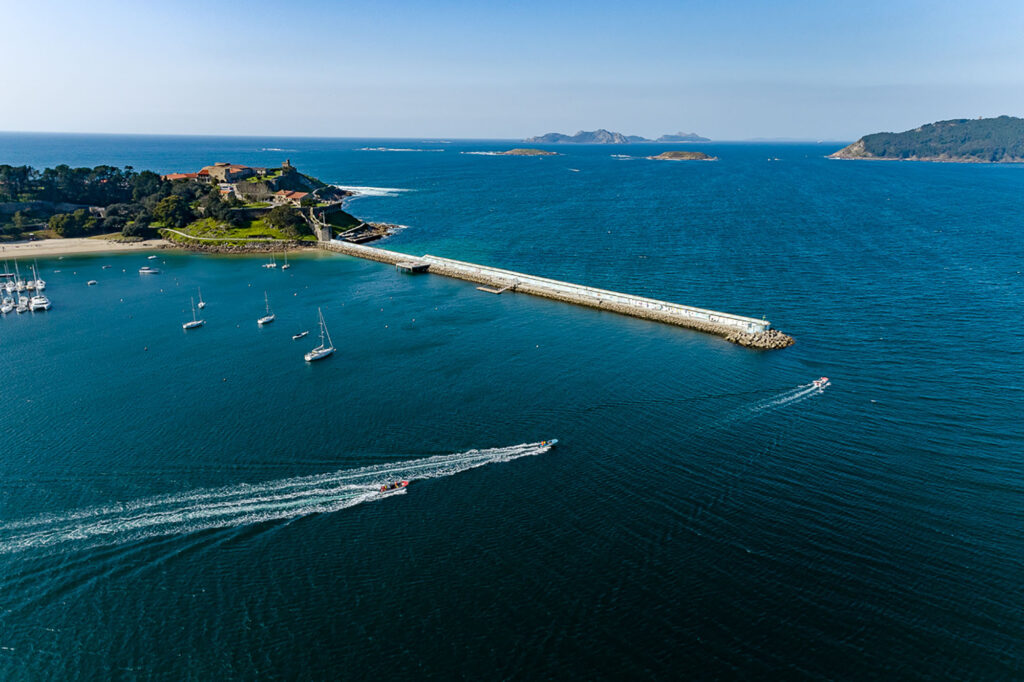
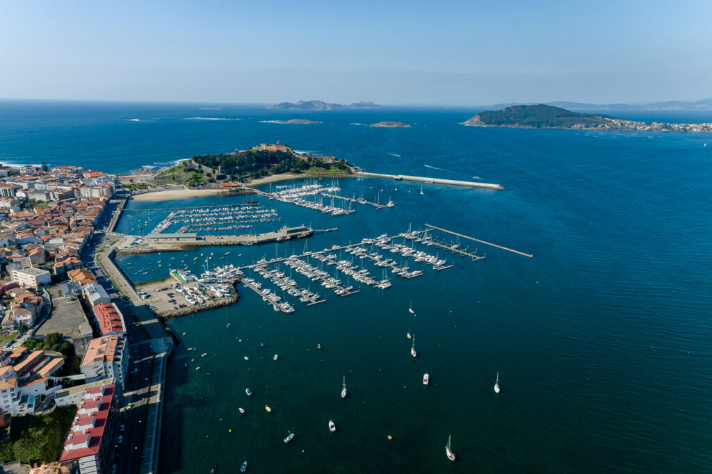
The Baiona estuary is completely open to winds from the third and fourth quadrants, with a 1-mile opening between the Estelas islands southwest of Punta Lameda and Punta del Buey, on the Monterreal peninsula. It is advisable to have the pilot chart (detailed nautical chart) of the Baiona estuary and sea entrances to understand the geographical situation of all the landmarks at the entrance of this estuary.
1.- From the northwest tip of the Monteferro peninsula is Punta Lameda with its lighthouse, which is a good mark on our route (entry path) coming from the northern mouth or from the Vigo estuary.
2.- To the west of the Monteferro tip, there is a whole chain of islets, Las Estelas and rocks, the Serralleiras, which extend up to 1.7 miles from its slope and constitute the largest islands and main hazards in the northern part of this Baiona cove.
3.- To the south of Serralleiras lies a chain of rocks, the Carallóns, and to the north-northwest the Bajo la Negra, all marked. There are three main channels to enter this cove: Main Channel, between Serralleiras and Silleiro. Puerta Channel between Estela de tierra and Monteferro. Carracuido Channel between Astilla de mar and Serralleiras.