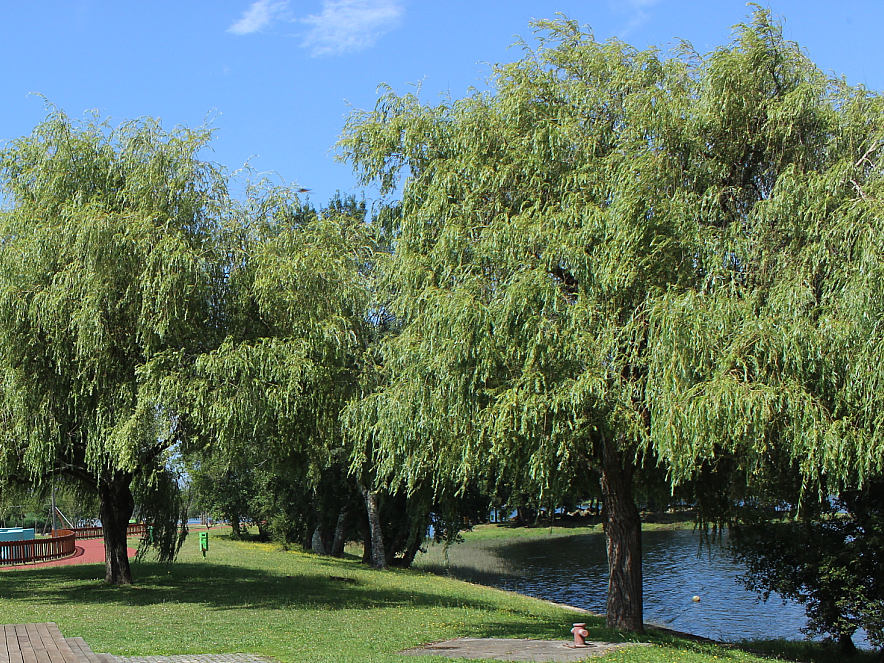
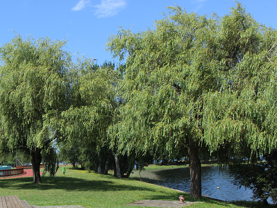
Port entrance
Route and approach instructions
Relevant information about this course at high tide: The route along the Portuguese shore can have complications at the height of Caminha. Sailors should navigate close to the bank of Seixas.
Its extension along the stretch starts from Lanhelas wp 41°54'50.56 "N 8°47'28.64 "W to navigate through the channel between the islands of Os Amores and A Boega, needed because of the lack of water on the Spanish shore, corresponding to Eiras Beach.
Throughout the Miño, it is crucial to maintain constant alertness on possible floating objects, not explicitly identified as trunks or similar, frequently drag by the currents cause between different density waters after rain periods.
1 Moledo Sand Spit 41°52'18.78"N 8°51'51.55"O
2 Oliveiras lower course 41°52'49.64"N 8°51'3.02"O
3 Paxase 41°53'22.32"N 8°50'49.34"O
4 Seixas 41°54'4.18"N 8°48'56.41"O
5 Seixas 2 41°54'9.20"N 8°48'48.45"O
6 Seixas 3 41°54'8.83"N 41°54'8.83"N
7 Lanhelas 41°54'50.56"N 8°47'28.64"O
8 Lanhelas2 41°54'57.50"N 8°47'15.10"O
9 Islands of Amores 41°55'18.26"N 8°46'24.86"O
10 Island of Boega 41°55'33.86"N 8°45'28.85"O
11 Boega 2 41°55'52.74"N 8°45'14.61"O
12 Cerveira 41°56'24.33"N 8°44'59.01"O
13 Vilanova Cerveira Dock 41°56'28.06"N 8°44'46.57"O