Nautic Destination

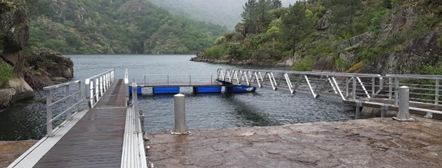
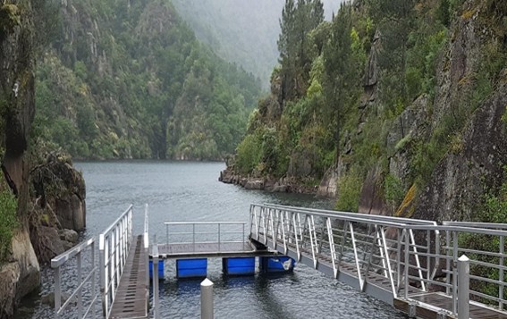
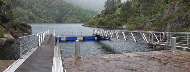
Os Chancís Pier

Provincia de

About this port

We are at the place where the Xabrega River —also known as Da Boca or de Bouzas, according to locals— flows into the Sil River. The force of its waters was historically harnessed as an ecological energy source for the operation of twenty-eight mills, in a natural environment dominated by native vegetation and oak groves. This landscape transports us to 19th century Galicia, surprising visitors with the Xabrega waterfall before its confluence with the Sil. Several viewpoints allow you to enjoy the beauty of the narrow valley and the winding outline of the river, offering a unique scenic experience.
Port entrance

Route and approach instructions

N/A (river destination)

Gallery

Os Chancís PierOs Chancís Pier

Location

Address
Embarcadoiro Os Chancís
Municipality
Sober
Province
Lugo
Country
Spain
Postal code
27460

Contact

Coordinates

Latitud
42.409170
Longitud
-7.632320

The port

Eco-destination
Río Miño - Sil - Ribeira Sacra
Environment
The Xabrega River waterfall, with a drop of approximately 30 meters over the Sil, along with the old mills, gives this place an exclusive character. The surroundings are enriched by viewpoints such as Peña do Conde, Pena do Castelo, A Cividade, Xabrega, Os Chancís, as well as the Castro de Xabrega and the Proendos petroglyphs. The cultural heritage is completed with Romanesque churches, chapels, and hermitages, in addition to bridges that illustrate the layouts of trains and roads. Nearby, you can visit the historic ensembles of Pantón, Monforte de Lemos, and Os Peares, where the Miño and Sil rivers meet, forming a site of high heritage and natural value.