
Umia river. Intertidal Complex
About this heritage
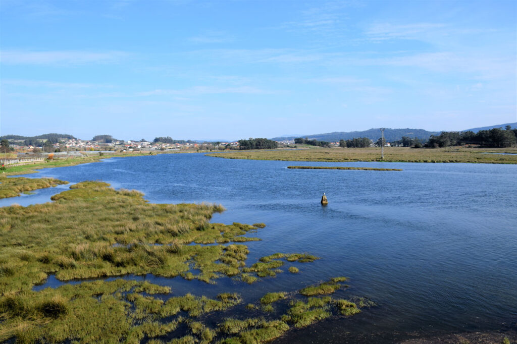
The Umia river forms a wide estuary at its mouth in the Umia-O Grove Intertidal Complex, making a winding route to cross the extensive coastal plain.
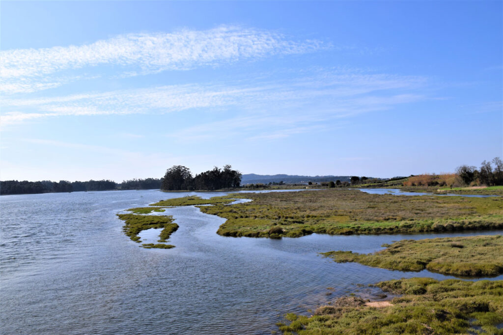
The intense dynamics of the tides together with the action of the River Umia gives rise to the formation of fine, sandy-muddy sedimentary deposits along the riverbed and areas of marshland on its banks creating shapes and textures that are modified by the action of the tides.
The river runs along a wide plain and coast and receives water from different streams such as Armenteira, Fonte Espiña de Tabueiros to the south or Belos river to the north, forming a basin with gentle slopes that gradually increase towards the headwater
.
The agricultural use of the area is mostly of Albariño grape viticulture with the Rias Baixas Denomination of Origin that are combined with other crops such as greenhouses and other fruit trees such as kiwi.
By this river passes the PR-G173 Route of the river Umia that crosses the river from the surroundings of Pazo de Barrantes (traditional manor house) to the Arnelas bridge. Following the basin and crossing the river on several occasions: at Cabanelas bridge, Santa Marta bridge and Arnelas bridge. It is a completely flat route. It goes through Rías Baixas D.O. vineyards grown on vines. The path offers several places to rest and enjoy the views.
The final point of the route is the Arnelas Bridge, which was rebuilt in 1598 by Felipe II.
To learn more
The final section of the Umia river belongs to the Natura Network 2000 and is catalogued as a Special Protection Area for Birds ZEPA Intertidal Complex Umia- O Grove, A Lanzada, Punta Carreirón and Lagoa Bodeira is an extension of 2813 ha included in the Special Conservation Area complex Ons - O Grove.
In addition to being a ZEPA area, it also has other protection figures such as the Special Protection Zone for Natural Values (ZPVN), the RAMSAR Zone and its included in the Special Conservation Zone of Ons - O Grove Complex.
The ZEPA is distributed by the municipalities of Cambados, O Grove, Arousa island, Meaño, Ribadumia and Sanxenxo.
It integrates a rich variety of ecosystems with characteristics that constitute a selection of the most outstanding habitats of the Galician coast. The marine and coastal habitats, constitute the majority group; coastal habitats with halophytic vegetation considered as a priority group the coastal lagoons; marine and continental dunes.
Migratory and nesting bird species such as the Kentish Plover (Charadrius alexandrinus), Oystercatcher (Haematopus ostralegus), Red Knot (Limosa lapponica), Grey Plover (Pluvialis squatarola), Mediterranean Shearwater (Puffinus mauretanicus).
In fact, it is considered by the SEO as one of the most important wintering and passage places for water birds on the northern coast of the peninsula.
The isthmus of A Lanzada, besides joining O Grove with the continent, is the point of union of two ecosystems of rich maritime biodiversity. Marine mammals such as the porpoise (Phocoena phocoena), the dolphin (Delphinus delphis) and the bottlenose dolphin (Tursiops truncatus) have a common presence in this area.
On the inland side, there is a large plain that is covered when the tide rises and is exposed at low tide. It is known as O Vao cove and is where the island of A Toxa and the beaches of O Grove are located. Their sandy bottom and meadows of marine vegetation stand out.
To know it better
The River Umia, from which the municipality of Ribadumia in Pontevedra takes its name, has its source near the Candán mountain range, in Forcarei. In its route, it crosses the city councils of A Estrada, Cuntis, Moraña, Caldas de Reis, Portas, Meis, Ribadumia and Cambados. It is a great fluvial course that ends in the Arousa estuary, and more specifically, in the town of Barrantes.
The Umia-O Grove Intertidal Complex is an area included in the List of Wetlands of International Importance (RAMSAR Wetland) and Special Protection Area for Birds (ZEPA). It is an immense plain of mud with islets in its interior and surrounded by the Umia river.
Ribadumia is a municipality in the province of Pontevedra, located in the heart of the Salnés Valley. It borders the municipalities of Vilanova de Arousa, Cambados, Meaño and Meis. The name of the municipality comes from the river that crosses it, the Umia.
Galería
Location
- Locality
- Ribadumia
- Municipality
- Ribadumia
- Province
- Pontevedra
- Country
- Spain
The asset
- Type
- River
- Eco-destination
- Ría de Arousa
- Environment
- Natural
- Relevance
- Internacional
How to get there
- Access
- By sea By land
- Distance
- 3,200 km
The visit
- Accessible
- Sí
- Parking
- No
Coordinates
- Latitud
- 42.50247100
- Longitud
- -8.80383100