


Pontevedra. Lérez River. Path
About this heritage
The River Lérez is a place of Community Importance, which means that it is a protected area. In Spain, Law 42/2007, of 13th December 2007 on Natural Heritage and Biodiversity defines them as "those areas of the whole national territory or of the maritime waters under national sovereignty or jurisdiction, including the exclusive economic zone and the continental shelf, which contribute significantly to the maintenance or, where appropriate, to the restoration of the favourable state of conservation of the natural habitat types and the habitats of the species of Community interest in their natural range".
It has its source in Candán mountain range, enters through Cotobade and Campo Lameiro in the lands of Pontevedra and crosses it to the mouth of the estuary. It crosses the province along 57 kilometres, running through a valley characterised by the variety of rocks it leaves behind.
The path of the Lérez, is a LIC area (Place of Community Importance), an area of community importance for its potential contribution to restoring the natural habitat, including ecosystems and biodiversity of fauna and flora.
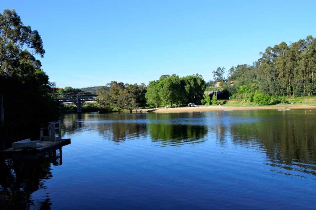
It runs for 6 kilometres, starting at the river beach and running along the river bank to Bora´s parish, passing through old forest paths, lush riverside woods and the remains of old mills. It is of low difficulty, ideal for walking or cycling with the whole family. It belongs to the route of the Portuguese Way of Saint James.
To learn more
The Place of Community Importance Lérez river, is born in one of the rainiest areas of the Galician mountains, separates the provinces of Pontevedra and Orense, specifically in the Candán mountain range, here the average annual rainfall exceeds 2,000 millimetres. The river Lérez enters the lands of Pontevedra through Cotobade and Campo Lameiro, to cross Pontevedra to the mouth of the estuary.
The Lérez river crosses the province of Pontevedra from side to side along its 57 kilometres, running through a valley that is characterised by the fact that it is a place where you can find various types of rocks, such as medium grade metamorphic rocks that are formed by minerals such as mica, chlorite, talc, granite, quartz and feldspar.
The path of the Lérez River is a LIC area (Place of Community Importance), an area of community importance. It is a linear route of about six kilometres of low difficulty, in which you can discover the different fluvial environment of the low stretch of the river, as well as different autochthonous forest environments.
The path begins at the bridge of Los Tirantes on the left side, where it starts as a walk to the river beach. Once you reach this point, it runs between wooden footbridges and very well equipped paths. During the path you can see an area of dense vegetation, the trees you can see are willows and oaks. You will reach the waterfall of La Fillagosa and the ruins of the old health resort of the Lérez that still preserves part of the main building with the source of medicinal waters inside. It was created in 1906 and became a meeting point for Pontevedra's citizens and important politicians of the time such as the minister Canalejas, the Marquis of Riestra, Montero Ríos, Cobián Roffignac..., even the Princess Elena de Borbón y Borbón visited it in 1914. Its promoter was Casimiro Gómez, an emigrant who made a great fortune in Argentina. This is where Las Aguas del Lérez (Lerez´s waters) was born, which was attributed important therapeutic properties and became known halfway around the world.
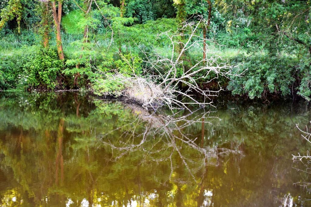
The trail continues through the ancient accesses to the water pumping station, a place where the river carries great strength. From here and until the end of the route at the Bora reservoir, the riverside woods become thicker and some remains of mills can be visited.
Also a must see is the Place de la Fontaiña, Place of Community Importance (LIC ES1140002 "Río Lérez", 149 ha), for its area of ornithological tourism. Upstream, before crossing the bridge at the water pumping station, you can reach the place of Couso, where the river of Fontáns flows. The path runs within the route of the Portuguese Way of Saint James.
To know it better
The Lérez river is one of the most important elements of the city of Pontevedra, since this city has been formed on both sides of its banks. This fluvial course is born in San Bieito mountain (in the Candán mountain range), in the parish of Aciveiro (Forcarei), and ends in the Atlantic Ocean, forming the Pontevedra estuary, between the town of Poio and Pontevedra.
Moreover, thanks to the path that we find on the banks of the Lérez, we can leave the urban area to go into a pleasant landscape full of vegetation. After a stop at the river beach and going up, we will reach a part of the Natura Network 2000 environment. Walking along the river path we can appreciate the waterfall of Porreiro mountain and the ruins of the old health resort of Lérez.
Located in the northwest of the Iberian Peninsula, Pontevedra is an administrative, monumental, tourist and service provider city. A city of art and history with a monumental area that, after Santiago de Compostela, is the most important in Galicia.
Gallery
Location
- Town
- Pontevedra
- Municipality
- Pontevedra
- Province
- Pontevedra
- Country
- Spain
The asset
- Type
- River
- Eco-destination
- Ría de Pontevedra
- Environment
- Natural
- Relevance
- Internacional
How to get there
- Access
- By sea By land
- Distance
- 1.000km
The visit
- Visitable
- Yes
- Accessible
- No
- Parking
- No
Coordinates
- Latitud
- 42.43589900
- Longitud
- -8.64397300