


Ínsua Island. Old fortification and prison in the Miño river´s entrance
About this heritage
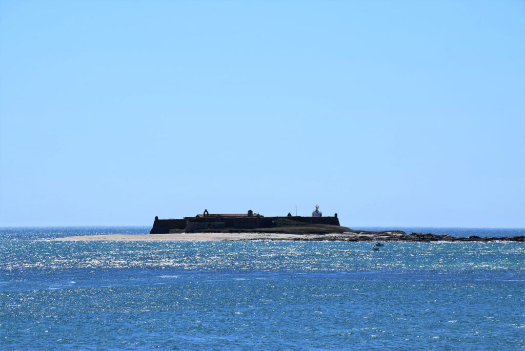
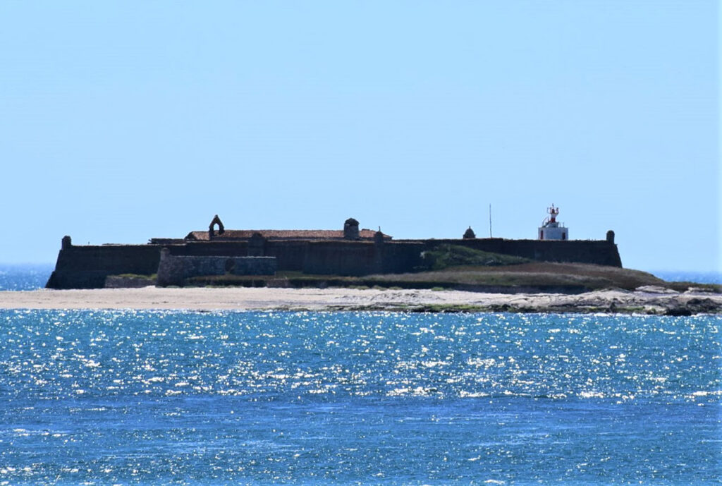
Ínsua island is located at the Miño river´s mouth, on the border between Spain and Portugal. It is a very small island of approximately 400 meters long. Most of the island is occupied by a monastery and a fortress built in the 17th century. The convent, built in the Middle Ages, forms a peculiar ensemble. The island is less than 500 meters away from Portugal and about 1 km near Camposancos in Galicia.
In order to know the reasons of this fortification construction, known today as the “Forte da Ínsua” (Insua´s Fortress), it is necessary to go back to the “Portuguese Restoration War”, an armed confrontation between Portugal and the Hispanic Monarchy which ended with the “Treaty of Lisbon” in 1668 in which the Portugal´s complete independence was recognized.
The first fortification dates from much earlier and it was ordered by João I, to defend both the river and the monastery founded in 1392 by Galician Franciscan monks, the convent of “Santa María da Ínsua” (Saint Mary of Ínsua convent).
A curious fact about the island that allowed an stable settlement is that it has two fresh-water sources, of which one is miraculous, so they say.
But returning to the Miño´s mouth and Camposancos, located in A Guardia´s parish we have to look for O Puntal, where a viewpoint with a cross and benches were set up for contemplating.
To learn more
Camposancos is a parish of A Guardia´s Galician municipality, this seafaring village is famous for the impressive “Castro de Santa Tegra” (Santa Tegra Hill fortress). This fortress had an extension that surpassed the 20 hectares although nowadays only four sectors are visible. The first written references to this site, date from the second half of the 19th century. It is considered to be one of the most important examples of Castro-Roman culture in the northwest of the peninsula.
In addition to the Fortress, the Santa Tegra´s chapel and its crosses and stone traditional crosses (cruceiros) are also worth mentioning.
The Santa Tegra mountain can also be seen towards the Miño estuary, Portugal, O Rosal valley and the Atlantic ocean. In this mountain ascent, the “Pico de Facho” (Facho´s Peak) of 328 meters offers us a beautiful panoramic view of the O Rosal valley and the fishing port. With 341 meters, the “Pico de San Francisco” (Saint Francisco Peak) is the highest point of the Santa Tegra´s mountain. Its name connects with its orientation to the Miño´s mouth and the Insua islet, which as you should remember is was inhabited by Franciscan monks.
To visit the island, some type of boat is necessary.
A Guarda, in addition to Oia, O Rosal, Tomiño and Tui, is part of the so-called O Baixo Miño (lower Miño), which offers us a combination of mountain and sea with a great landscape value and rich archaeological heritage. Not to mention the cathedral of “Santa Maria de Tui”, “Aloia” mountain or the “Santa María de Oia” monastery.
To know it better
Caminha is a village located in the north of Portugal that began to grow quite a bit from the 12th century thanks to the fishing and trade. Its good location has always stood out, as it was a privileged area to see Castilians and Leonese future military attacks. In addition, thanks to its narrow and cobble streets, we can imagine part of the Caminha´s history.
One of the most striking sites within the Caminha City Council is the “Ilha de Ínsua” (Insua´s island), located in the Miño river´s mouth, on the border between Spain and Portugal. This island is about 400 meters long, it contains a fortress and a convent dated from the 16th century. The one known as “Fuerte de Ínsua” (Ínsua´s Fortress) is a quadrangular plant fortification with bastions in the vertices, that served as a defense against possible attacks. Since 1910, A Ínsua has been recognized as a National Monument
Gallery
Location
- Town
- Isla Insua
- Municipality
- Caminha
- Province
- Distrito de Viana do Castelo
- Country
- Portugal
The asset
- Type
- Fortress
- Eco-destination
- Río Miño
- Environment
- Maritime
- Relevance
- Internacional
How to get there
- Access
- By sea By land
- Port
- Pantalán Caminha
- Distance
- 2.591 MILLAS NÁUTICAS
The visit
- Visitable
- Yes
- Accessible
- No
- Parking
- No
Coordinates
- Latitud
- 41.85921000
- Longitud
- -8.87478900