
Meis. Mills Route. Stone and Water Route.
About this heritage
The “mills route” starts from the tourist office of Ribadumia, in the roundabout of the fast-way that joins the Highway with Cambados and ends in the Armenteira monastery. Along this route there are a large number of restored mills and much more, it is a route of great ethnographic, landscaping and natural value. In total, this route has 51 restored mills, most of them enrich the Armenteira river´s edge.
Of all of them “El Molino de la Casa” (The house´s mill) deserves a special mention as it is designated as the “Mills Interpretation Centre” which belongs to the Galician-Portuguese cultural network.
The building has a square shape and in it, you can see a permanent exhibition consisting of information panels where you can learn about the functioning of these authentic treasures of the Galician culture.
Along the route we find Aldea da Pedra (Stone´s village), in this village, scenes of the Galician rural life are represented on a real scale and in granite, the ensemble is made up of various elements such as a six-foot hórreo (traditional raised granary), an artistic cross, a chapel, a cow cart, a stone kitchen, a circular fountain, and so on.
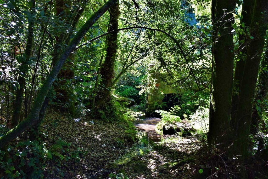
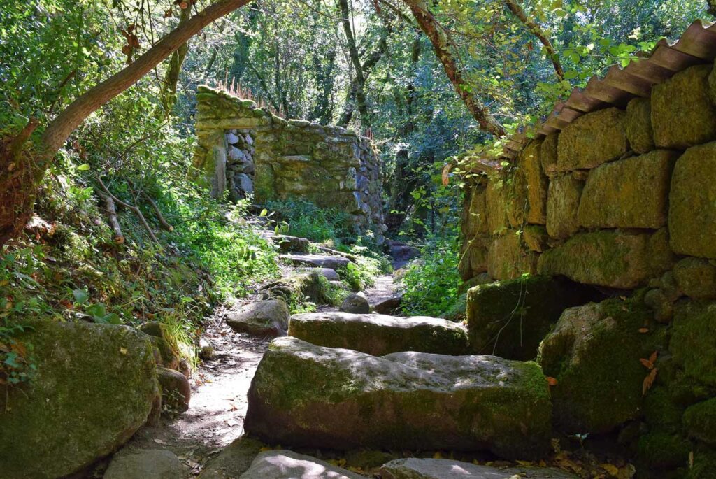
The route descends along a narrow path that goes parallel to the Armenteira river, during which we will have to avoid some difficult paths. In this section and thanks to the slope in which is located, we will find a great number of mills. As a curiosity, each mill has its own name.
To learn more
Water, stone, and nature, three ingredients that could define Galicia and also the “Mills Route”.
Water mills were formerly used to grind the various cereals grown in the area, generally wheat, rye and corn, taking advantage of the water´s force. It is a typical Galician construction that besides serving to turn the cereals into flour, contributed to develop our folklore.
Thanks to this ingenious artefact and the corn´s arrival from the Americas, we managed to overcome times in our history that were not so fortunate.
To reach the Aldea da Pedra, also known as “Aldea labrega” we have to take the path towards the Armenteira monastery (6.5km) and turn off following the signs. This construction has been made thanks to the pupils of the Stone-cutters School of the “Diputación de Pontevedra” (Pontevedra´s Council) and its purpose is to represent the daily life of the Galician villages.
The route develops - as it is logical - walking to the edge of the river, and with many mills that appear ceaselessly, perfectly restored. The walk has a rest area known as the “Muiños de Meis” (Meis´ Mills).
The vegetation is made up of numerous trees that cover the entire path, especially alders, willows, birches and oaks.
As it could not be otherwise, all the above is joined by a restored house as a bar with terrace in which we can reward ourselves with a well-deserved snack.
To know it better
Meaño offers us a multitude of possibilities to enjoy its beautiful landscapes. One of them is the Mills Route and the Stone and Water Route. Both tours help us to known a little bit more about our ancestors, as it gives us a better understanding of how humans worked without any kind of machinery.
They consist of river walks in which, thanks to different paths, we can find more than twenty water mills. Those mills were the machines of the time, as they revolutionized all the methods known to date. Thanks to them, human beings could already use machines to grind and mill food.
Located in the Salnés region, Meaño is a municipality belonging to the province of Pontevedra. It is surrounded by the municipalities of Ribadumia, Poio, Sanxenxo and Cambados. It has a 28km2 area and is made up of seven parishes, which are: Covas, Padrenda, Xil, Meaño, Simes, Lores and Dena.
Gallery
Location
- Town
- Meis
- Municipality
- Meis
- Province
- Pontevedra
- Country
- Spain
The asset
- Type
- Route
- Eco-destination
- Ría de Arousa
- Environment
- Rural
- Relevance
- National
How to get there
- Access
- By land
- Distance
- 9,000 km
The visit
- Accessible
- No
- Parking
- Sí
- Website
- riasbaixas.info/meis.html
Coordinates
- Latitud
- 42.49217200
- Longitud
- -8.75755300