


The Cies Island. The Island of San Martin and Phoenician trading
About this heritage
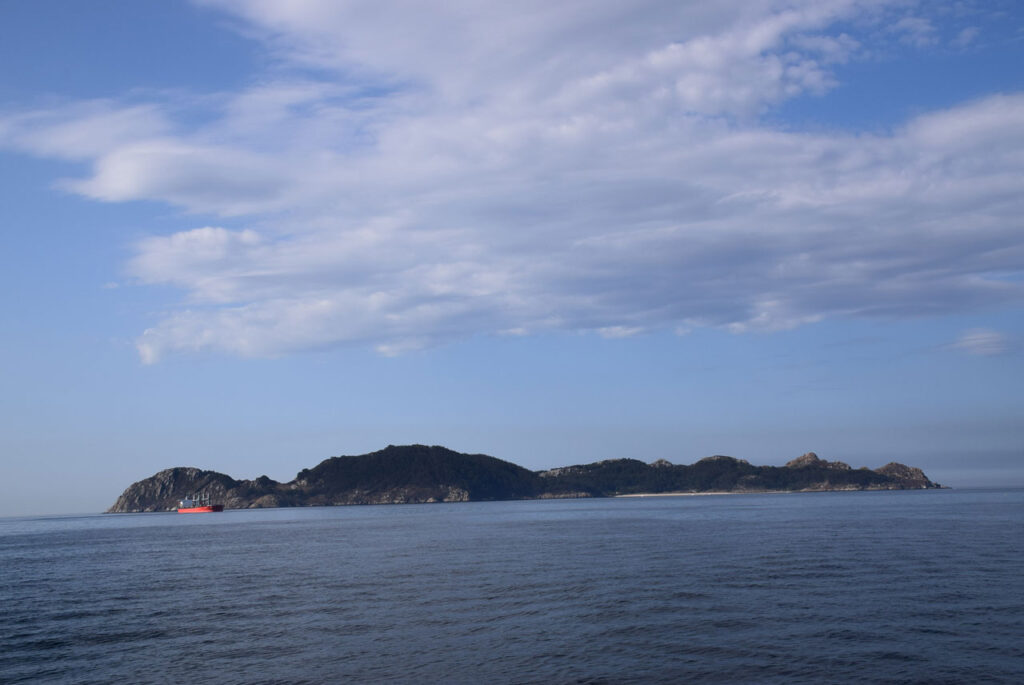
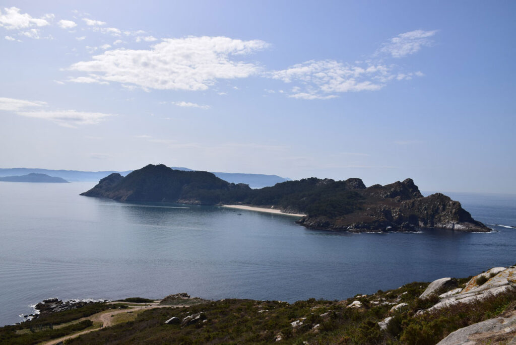
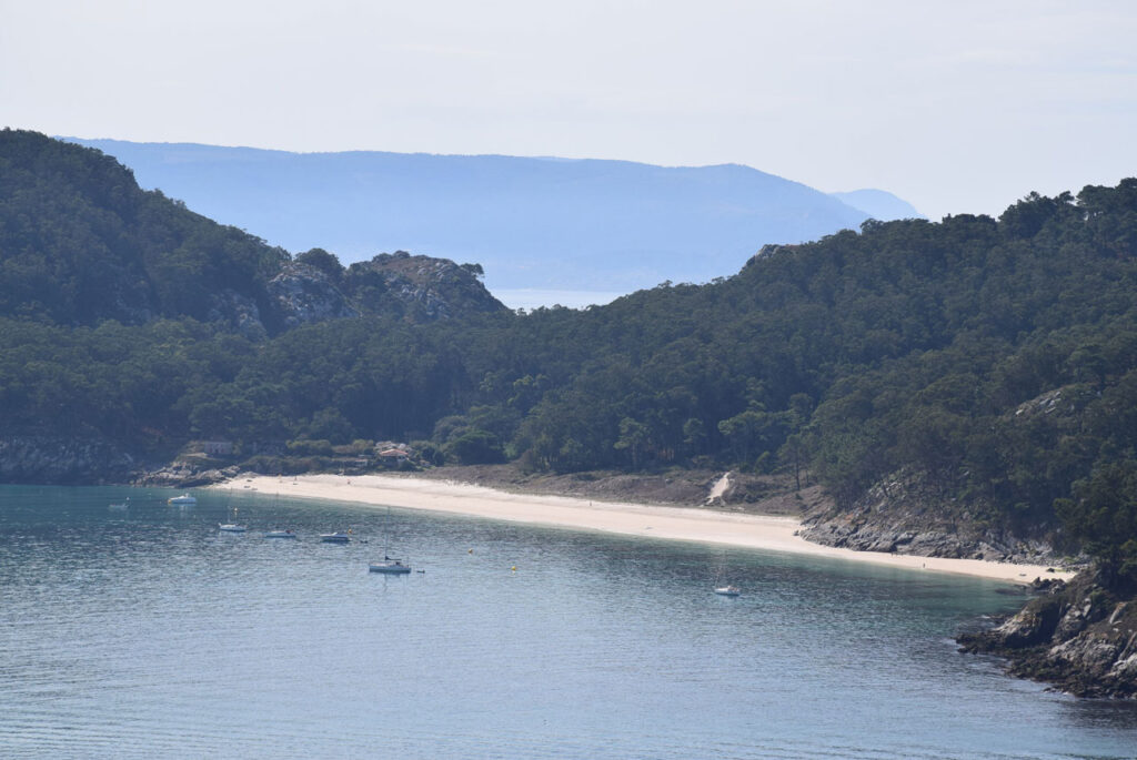
The Phoenicians chose islands like the Cíes to carry out their tradings. The Cíes islands, in particular San Martiño or South Island, provided protection and security to anchor. These also had abundant sources that allowed the supply of water to ships, whereas the provision of food was obtained at nearby sea inlets and, at times, even at settlements located on the islands. As the legend goes, the Cies islands served as protection to Julius Caesar and the last of the Irminones, who took refuge there. The remains of Roman or earlier era constructions can be found on the island of San Martín, suggesting the existence of a Roman village.
To learn more
The seas north of Cape Vicos, on the island of San Martín, known in ancient times as Vicos Caporum, were a place of privileged anchorage for the ocean-going ships in transit along the western coast of the Iberian Peninsula. The Phoenician navigators were the first to arrive, around the beginning of the first millennium before Christ. Their sporadic visits to the Galician coast became more frequent as they established factories further west in the Mediterranean.
Proof of this is the large number of lithic anchors discovered by divers in the north of Cape Vicos, near Furna de Fornos, Punta Xesteira and Rego da Serpe. The lithic anchors were nautical instruments of elaborated naval auxiliary technology, which had two, three or up to four holes, and weights of between twenty, fifty, or more kilos, essential for certain sized ships to be able to anchor. Mesolite amphorae, introduced by the Phoenician merchants, were also found.
To know it better
The Phoenician inhabitants are the most experienced in the world when it comes to maritime navigation. For this reason, the Cies Islands were the desired destination for carrying out their commercial exchanges. Also known as Islas de los Dioses (Islands of the Gods), they are an archipelago located in the province of Pontevedra, at the mouth of the Vigo river, formed by three islands; Norte or Monteaguda, del Medio o Faro, and Sur or San Martin or San Martiño. Human beings arrived at these islands approximately in the year 3,500 B.C., although the first settlement is established as having been during the Bronze Age. This era is characteristic for the fabrication of utensils made from this metal, thanks to the combination of copper and tin.
The San Martin island is of triangular shape and is the widest of the islands. At present, remains of our Galician history can be appreciated, such as the San Martiño hermitage, sections of the Muiño do Limpiño, and reaching the highest point of the Isla Sur (South Island), the Pereira mountain.
A characteristic of the Cies islands is its fauna, with its numerous species of seagulls, cormorants, pigeons, birds, mammals, reptiles and insects, as well as an abundant marine fauna, including all types of mollusks and crustaceans.
As far as its flora is concerned, mention should be made to pine and eucalyptus and, as far as shrubs are concerned, gorse bush, rockrose and elmleaf blackberry.
Gallery
Location
- Town
- Vigo
- Municipality
- Vigo
- Province
- Pontevedra
- Country
- Spain
The asset
- Type
- Island
- Eco-destination
- Ría de Vigo
- Environment
- Natural
- Relevance
- International
How to get there
- Access
- By sea By land
- Distance
- 0 Km
The visit
- Visitable
- Do not
- Accessible
- No
- Parking
- No
Coordinates
- Latitud
- 42.19768600
- Longitud
- -8.90140300