


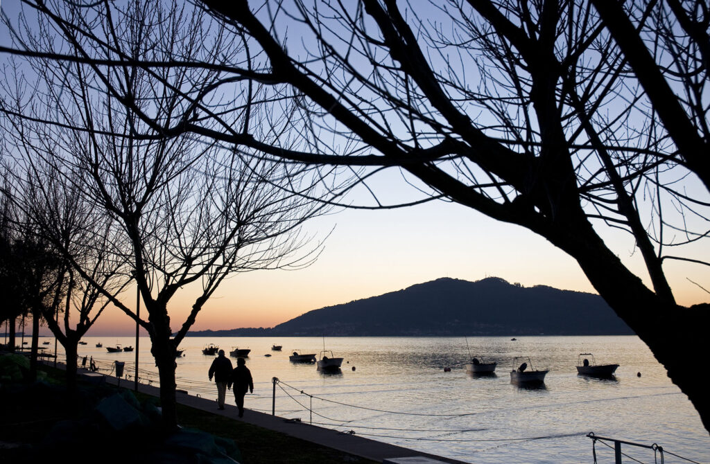
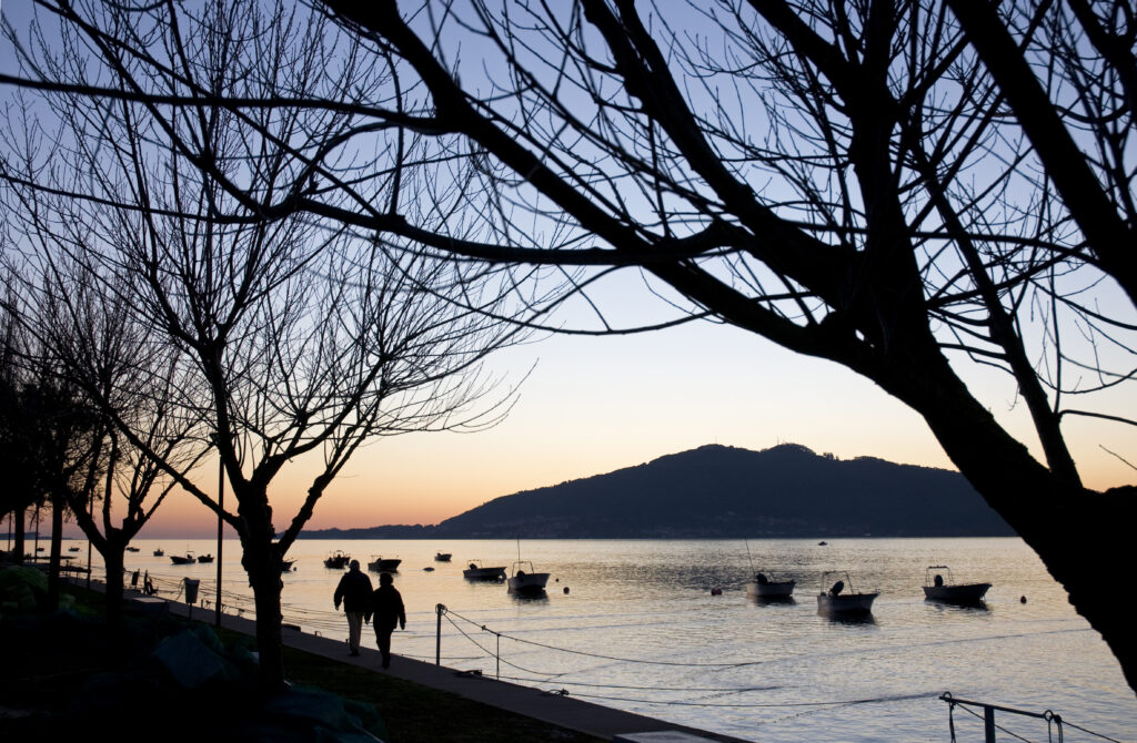
The floating dock at the mouth of the Minho River is located at the river’s estuary, on the southern shore next to the beach of the same name and near the Camarido National Forest, which is part of the Natura 2000 network and covers an area of 145.34 ha.
Floating Point at the Mouth of the Minho River, Caminha
Provincia de Distrito de Viana do Castelo
About this port
Port entrance
Route and approach instructions
Entrance to the Miño River from the Atlantic Ocean:
The Miño River is navigable up to Tui, about 30 kilometers from the mouth, but like all river navigation, it is difficult due to the changing riverbed and currents. Tides are felt about 40 km upstream with a maximum ebb current intensity of 4 knots, and the difference between high and low tide at the mouth compared to Tui can be more than 1 hour.
Its bar at the river entrance at the mouth is 1,400 m wide between the points of Santa Tegra in Spain and Punta Ruiva in Portugal. It is very exposed to waves and winds from the West and especially the Southwest. Only a small part of this bar is navigable.
Between these two points, about 0.2 miles west of Punta Ruiva, right at the mouth, rises the Islote Insua and a whole conglomerate of rocks (Insua Velha) and reefs. Its recognition is unmistakable due to the fort built on the islet, where in one of its sentry boxes, the one facing Northwest, stands the lighthouse which, with its three sectors—White, Red, and Green—marks the free and navigable zones, as well as the dangerous area and shallows. Throughout the bar, the sea frequently breaks and foams.
The position of Insua creates two river entrances to the Miño:
Northern Bar (Spanish Shore). Between Insua Velha and Punta Barbela, it is extremely complicated and currently closed with no possibility of navigation.
We will enter the Miño River through the Southern Bar, near the Portuguese Shore between Insua Island and Punta Ruíva.
Attention: the absence of marked channels at this entrance advises that if you want to enter, it should be done under the supervision of someone well acquainted with the area; if not available, have large-scale and updated nautical charts.
The Naval Command of Caminha, from its signal tower near Punta Cavedelo, indicates the possibility of navigation, and compliance with its instructions is mandatory and punishable by fines up to €2,000.
Navigation conditions on the Miño:
1º The average tidal range is about 2 meters between high and low tide. Consider the time difference between high and low tide between Tui and Camposancos. High tide usually differs by about one hour and 45 minutes to one hour, and low tide by about 2 hours and 50 minutes; for example, if high tide at A Guarda is at 00:00, at Tui it will be at 01:45. If low tide at A Guarda is at 00:00, at Tui it will be approximately at 02:50.
2º We recommend navigating always in mid to high tide conditions to avoid groundings.
3º The ebb current averages about 4 knots. During spring tides and at some points, this speed can double. The flood current averages 3 knots and can also double at certain points.
4º Maximum draft should not exceed 2.5 meters.
5º Do not trust the river water color; it is very difficult to tell if there is water or if a sandbank is surfacing ahead. In case of doubt, reduce speed to a minimum and, if using an outboard motor, lift it to avoid sucking in sand.
The navigable stretch of the Miño River lacks nautical charts and signage. Navigation through the proper channel is done by land marks, of course without neglecting depth soundings. It is advisable to seek advice from experts familiar with the river and take careful notes. For regular summer users, it is recommended that the first trips be made at high tide, observing possible changes in sandbanks and marking landmarks on land to avoid them.
The route entering the bar will follow these points:
Point 1. Departure from coordinates 41º 51’ 17.9” North 008º 54’ 08.1” West
Corresponds to the alignment observation located at Moledo beach in Portugal. From this point, set course 099º and sail 1.3 miles to the next point.
Point 2. Course change at Moledo at coordinates 41º 51’ 4” North 008º 52’ 23.9” West
Turn to port seeking ahead the blind alignment of two towers with red and white stripes located in Camposancos on the Spanish shore. The course will be 10º, following the alignment and adjusting the course for the current, until the next point 1 mile from the course change.
Point 3. Cavedelo at coordinates 41º 52’ 5.32” North 008º 52’ 08.51” West
At the mouth opposite the sandy point of Cavedelo, adjust the course slightly to starboard heading toward the sandbank.
Point 4. Sandbank at coordinates 41°52'18.78" North 008º 51'51.55" West. Set course to leave the sandbank of Camarido beach to starboard.
Point 5. After passing the sandbank of Camarido beach at 41°52'21.2" North 8°51'38.7" West, set course to the dock and anchorage.
Point 6. Arrival at the Dock.
Gallery
Location
- Municipality
- Caminha
- Province
- Distrito de Viana do Castelo
- Country
- Portugal
Contact
- Website
- cm-caminha.pt/
Coordinates
- Latitud
- 41.86763000
- Longitud
- -8.85985800
The port
- Eco-destination
- Río Miño
- Environment
- Urban