
Cabo Silleiro
About this heritage
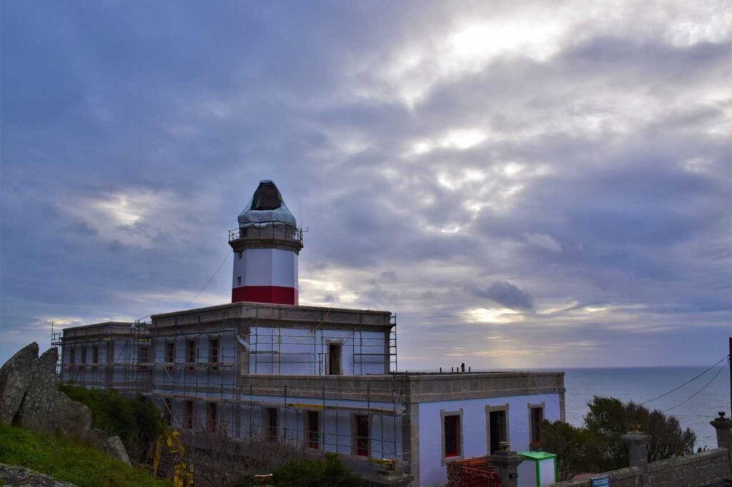
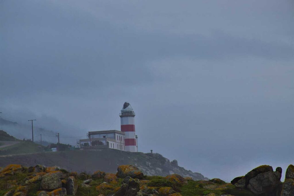
Cabo Silleiro is a geographical feature located in the southwest of Galicia, in the parish of Baredo (Baiona), which closes the estuary to the south, marking the beginning of the Rías Bajas to the north. It is a rocky front of Atlantic marine cliffs with a wide presence of extensive pebble and block beaches. On the coastal slopes, large areas of shrubland develop, with dry Atlantic coastal heathers of Erica vagans appearing in hollows where a certain degree of hydromorphism allows the appearance of wet Atlantic heathers of Erica ciliraris and Erica tetralix. The slopes and summits that close the unit present rocky outcrops and slopes with chasmophytic vegetation. Opposite the cape are the rocky islands of A Carral, A Negra, As Polbeiras, Laxe do Lobo, and Lobo do Silleiro. As it is a rocky area strongly battered by the sea, it is an ideal place for the growth of barnacles, where barnacle gatherers are often seen working, removing this delicacy using scrapers. During the 1940s, a J-4 coastal artillery battery was built in this area to protect the port of Vigo. At the top of the slope is the Silleiro lighthouse, the southernmost lighthouse on the Galician coast. It was inaugurated in 1924, a building that replaced the old 1866 lighthouse, of which the granite facade on the seafront is preserved. At the foot of the old lighthouse, a path leads down to the beach of crystals, so called because there used to be a landfill at the cape. Bottle glass, ceramic fragments, and other elements were dragged and polished by the action of the sea, creating this beach with different shades of greenish tones.
To learn more
In 1866, the Silleiro Lighthouse was inaugurated, located on the cape of the same name; the granite facade of the old lighthouse still stands on the seafront. In August 1924, the new building housing the lighthouse was inaugurated 85 meters up on the mountain top. This building has a rectangular floor plan, and on its west facade is the lighthouse tower, which since 1960 has had a 3000-watt lamp visible up to 40 miles away in clear weather. In addition to the siren, it has an electric transmitter with a 200-mile range. Today, it is one of the main navigation reference points for ships sailing these waters. In 1955, it became an aerobeacon, fitted with lenses producing an aerial beam of 70º above the horizontal, identifiable by aircraft up to 20 kilometers away. Currently, besides continuing to serve as a light signal, it is a receiving base for two different wave and current measurement systems and also has an AIS navigation aid transceiver station. Next to the Cabo Silleiro lighthouse are the remains of military installations that once served to monitor the entrance to the Ría de Vigo and Baiona. These are the J4 Cabo Silleiro batteries. These installations date from the post-Civil War period and entered service in the early 1940s as a coastal battery to protect Spain from a sea attack that never occurred. Thousands of young men completed their military service at these facilities. The land installations included the Sergeant's and Chaplain's houses, as well as common buildings (canteen, soldiers' home, kitchen, officers' rooms, and sports field). Underground, there are 200 meters of galleries excavated in granite connecting the artillery pieces with the telemetry bunker through a tunnel with a main axis and several branches. There was also an evacuation tunnel reaching the Baredo mountains, now completely sealed. The command and observation post is located above the lighthouse that regulates port traffic. The highest battery is harder to access and therefore better preserved. The cannons had a maximum range of 16 kilometers and could fire all four simultaneously in manual or automatic mode (with electricity). The projectiles weighed 50 kg and were 45 cm in diameter, transported in carts through tunnels to the cannons. About nine people were needed to operate the cannons, and over fifty worked in the batteries in total. The battery ceased operation in the late 1980s, and both the cannons and tunnels were sealed. The military complex remained intact until the early 1990s, with a small guard post monitoring it until 1999 when it was completely abandoned. The upper floor of this telemetry bunker was reopened in 2002 to observe the evolution of the oil spills caused by the Prestige on the Galician coast. The Oia - Baiona stage of the Portuguese Coastal Way of St. James passes through here, used by many pilgrims choosing this route.
To know it better
Cabo Silleiro is located in Baiona (Pontevedra) and is part of the Galician coast. A cape or point is a geographical feature formed by land projecting into the sea. This one specifically marks the entry point to the Ría de Vigo from the south. The Silleiro Lighthouse was inaugurated here in 1866, initially using a vegetable oil wick lamp to warn ships of the coastline. Later, in 1909, a petroleum lamp was used, and in 1924, the lighthouse as we see it today was inaugurated. Additionally, the old J4 Cabo Silleiro military battery is located here, built after the Civil War to protect the entrance to the Ría de Vigo and Baiona. It has about 200 meters underground with a main tunnel connected to the Vickers artillery.
Gallery
Location
- Town
- Baredo
- Municipality
- Baiona
- Province
- Pontevedra
- Country
- Spain
The asset
- Type
- Cape
- Eco-destination
- Ría de Vigo
- Environment
- Natural
- Relevance
- Regional
How to get there
- Access
- By sea
- Distance
- Caminando desde el puerto de Baiona: 1 hora y 20 minutos (5,7 km). Distancia en coche desde el puerto de Baiona: 9 minutos (5,7 km)
The visit
- Visitable
- Exterior only
- Interpretation
- Interpretive panel at the lighthouse entrance
- Accessible
- Sí
- Parking
- Sí
- Signposted
- Yes
Coordinates
- Latitud
- 42.10488600
- Longitud
- -8.89639900