
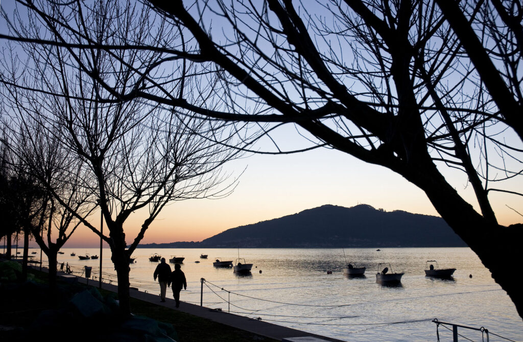
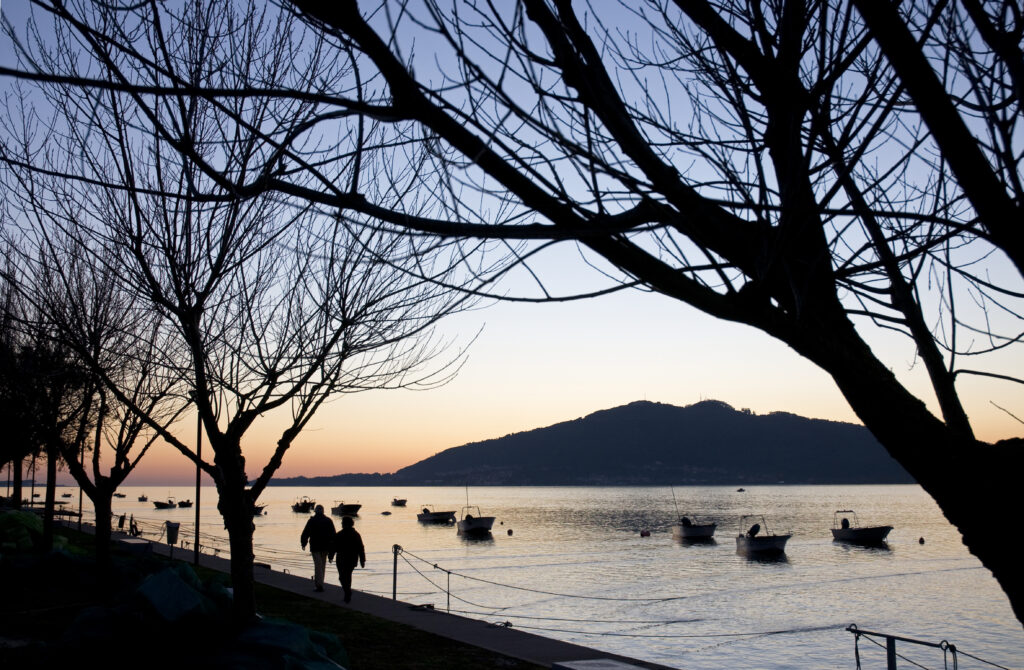
The Seixas Marina/ Minho River Quay is a river structure with 12 mooring posts located on the Minho River, in the Seixas parish, next to the eco road called Caminho do Rio Minho, which starts in this location and ends by the Lanhelas railway station.
Seixas Marina / Minho River Quay, Caminha
Provincia de Distrito de Viana do Castelo
About this port
Port entrance
Route and approach instructions
Entrance to the river Miño from the Atlantic Ocean.
The Miño River is navigable to Tui about 30 kilometers from the mouth, but like all river navigation, it is difficult due to the changing depths and currents. The tides are felt about 40 km. upstream with a maximum intensity of the dumping current of 4 knots and the difference between high and low tide at the mouth with respect to Tui becomes more than 1 hour.
Its bar at the access to the river at the mouth is 1,400 m. wide between the tips of Santa Tegra in Spain and Punta Ruiva in Portugal. It is very exposed to waves and winds from the West and especially to the Southwest. Only a small part of that bar is navigable.
Between these two points, about 0.2 miles west of Punta Ruiva, in the middle of the mouth, rises the Islote Insua and a whole conglomerate of stones (Insua Velha) and reefs. Its recognition does not offer doubts due to the fort built on the islet, where in one of its sentry boxes, the one facing the Northwest, the lighthouse rises that with its three sectors, White, Red and Green, marks out the free and navigable areas, as well as the dangerous area and the shoals. In all the bar the sea is wooded and breaks very frequently.
The situation of the Insua causes two entrances to the river Miño:
Barra del Norte (Spanish Shore). Between the Insua Velha and the Punta Barbela it is extremely complicated and currently blocked without the possibility of singling it out.
We will enter the river Miño through the Barra del Sur, near the Portuguese shore between the island of Insua and Punta Ruíva.
Attention: the absence of signposted channels in these entrances advise us that if you want to enter it will be done with the supervision of a good connoisseur of the area, if you do not have it, have large-scale and updated navigation charts.
The Caminha Naval Command in its signal tower that rises very close to Punta Cavedelo indicates the possibility of navigation, being mandatory and punishable up to € 2,000 for non-compliance with its instructions.
Conditions in navigating the Miño:
1º The variations in its flow are on average 2 meters. between high tide and low tide. Take into account the time difference between high tide and low tide, between Tui and Camposancos. The high tide usually has a difference of one hour and about 45 minutes to 1 hour and the low tide of about 2 hours and 50 minutes, that is, if the high tide in A Guarda is at 00:00, in Tui it will be at 01:45. minutes. If the low tide in A Guarda is at 00:00, in Tui it will be at approximately 02 hours and 50 minutes.
2º We recommend always sailing in conditions of medium to high tide to avoid stranded.
3º The emptying current is about 4 knots on average. In high tides and in some points this speed can be doubled. The incoming current is an average of 3 knots and, as in the descending current, it can be doubled at some point.
4th Maximum draft not exceeding 2.5 meters.
5º Do not trust the color of the river's water, it is very difficult to appreciate if we have water or if a sand bank emerges from our bow. In case of doubt, moderate the speed to the maximum and in the case of a motor with a tail, raise it to prevent it from sucking up sand.
The navigable section of the river Miño lacks a nautical chart and signs. Navigation through the proper channel is carried out by landmarks, of course without neglecting the probe numbers. It is convenient to be advised by experts who know the river and take good note. For the summer regulars, advise them to do the first voyages at high tide, making observations of possible changes in the sandbanks and marking landmarks to clear them.
The entry defeat to the bar will be made following the following points:
Point 1. Departure from coordinates 41º 51 ’17.9” North 008º 54 ’08.1” West
It corresponds to the observation of the line located on the beach of Moledo in Portugal. From this point we set Course 099º and we navigate 1.3 miles until we are at the next point.
Point 2. Course change in Moledo at coordinates 41º 51 ’4” North 008º 52 ’23.9” west
We fell to port looking for the bow of the blind line of two towers with red and white stripes that is located in Camposancos on the Spanish shore. The Course will be 10º, following the line and rectifying the course by the current. To the next point 1 mile from the course change.
Point 3. Cavedelo at coordinates 41º 52 ’5.32” North 008º 52 ’08.51” West
At the mouth of the river in front of the sandy tip of Cavedelo, we change our course a little to starboard forward to the point towards the sand spit.
Point 4 Tongue of sand at coordinates 41 ° 52'18.78 "North 008º 51'51.55" west. We will head to the Bajo de Bajo de Oliveiras.
Point 5 Bajo Oliveiras at coordinates 41 ° 52'49.64 "North 8 ° 51'3.02" West we will pass in the direction of Pasaxe.
Point 6. Paxase at coordinates 41 ° 53'22.32 "North 8 ° 50'49.34" West, heading towards Seixas with a defeat on the Portuguese shore that may have complications at Caminha. When you get to Seixas, stick to the Seixas riverbank.
Point 7. Seixas at coordinates 41 ° 54'4.18 "North 8 ° 48'56.41" West.
Gallery
Location
- Address
- Capitania do Porto de Caminha Largo Pero Vaz n.º 2
- Municipality
- Caminha
- Province
- Distrito de Viana do Castelo
- Country
- Portugal
- Postal code
- 4910-167
Contact
- Phone
- +352 258 100 320
- Website
- cm-caminha.pt/
Coordinates
- Latitud
- 41.89924600
- Longitud
- -8.81718400
The port
- Eco-destination
- Río Miño
- Environment
- Urban