


Betanzos. Riverside Walk of Los Caneiros

The Mariñas Coruñesas and Terras del Mandeo Biosphere Reserve” encompasses the territory of 17 municipalities: Abegondo, Aranga, Arteixo, Bergondo, Cambre, Carral, Coirós, Culleredo, Curtis, Irixoa, Miño, Oleiros, Oza-Cesuras, Paderne, Sada, Sobrado, and Betanzos, where the riverside walk dos Caneiros is located. In these two large basins, those of the Mero and Mandeo rivers, natural forests […]
El Pedrido
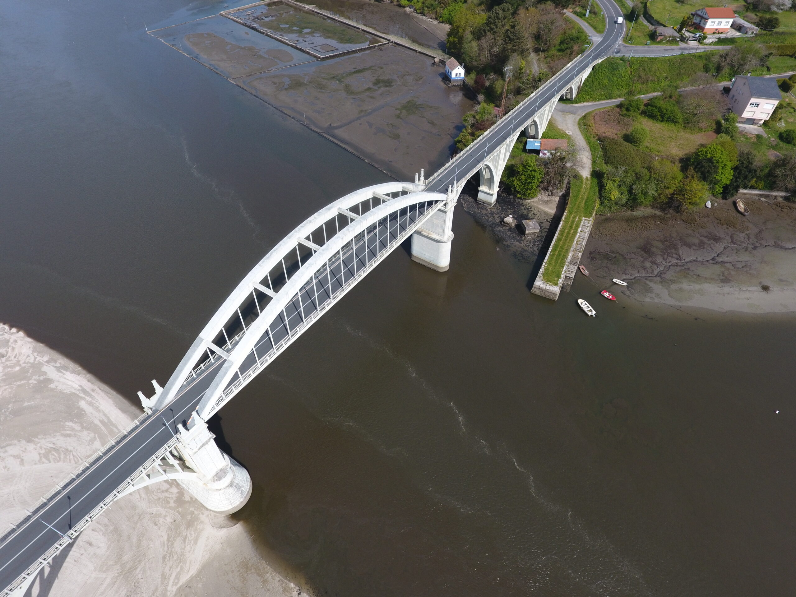
El Pedrido is a site classified as a Betanzos-Mandeo Site of Community Importance (SCI), it is also of Community Interest and is part of the Natura 2000 Network. In this area at the mouth of the Mandeo River, sedimentary formations and marshes appear. The marsh is a habitat of regional importance for migratory marsh birds […]
Ponte de Porco
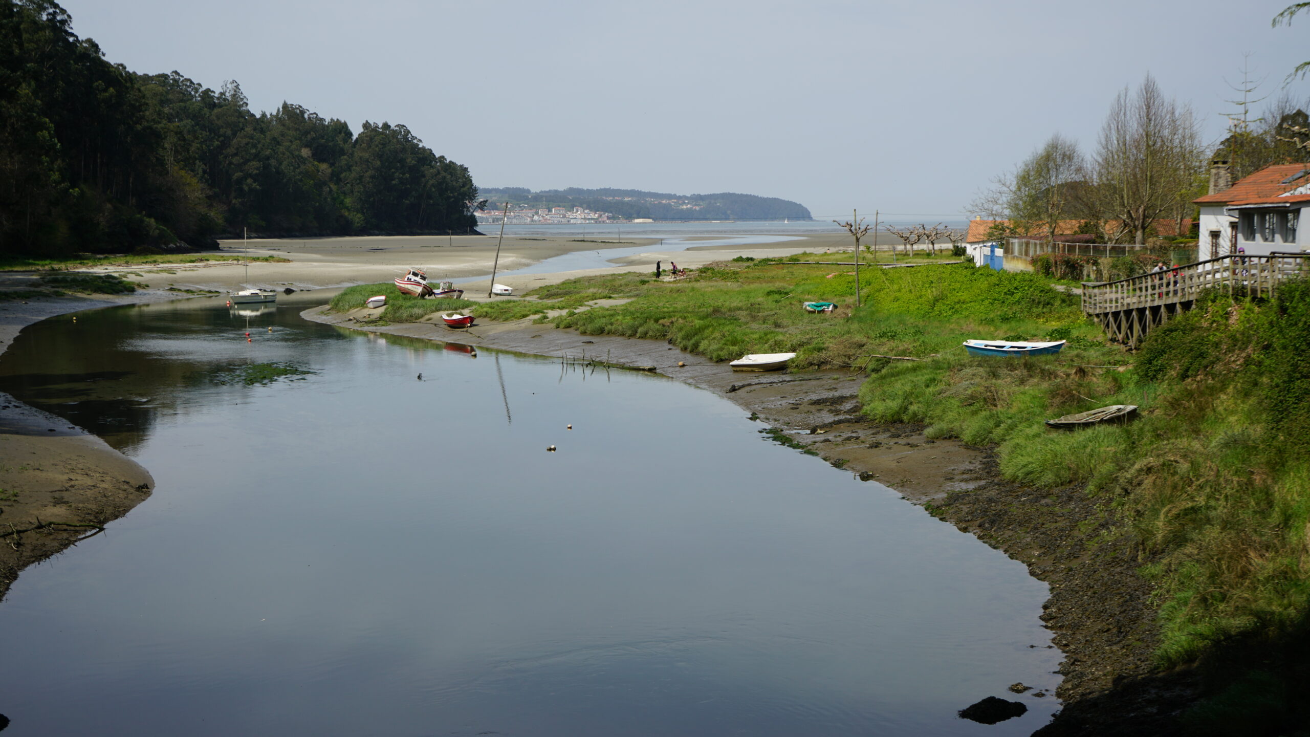
Ponte do Porco is a small settlement located at the entrance of the Miño municipality from the neighboring municipality of Paderne. The name originates from the coat of arms of the House of Andrade and the boar’s head that can be seen on the 14th-century medieval bridge. The “Ponte do Porco” bridge was built by […]
Coto da Filloa
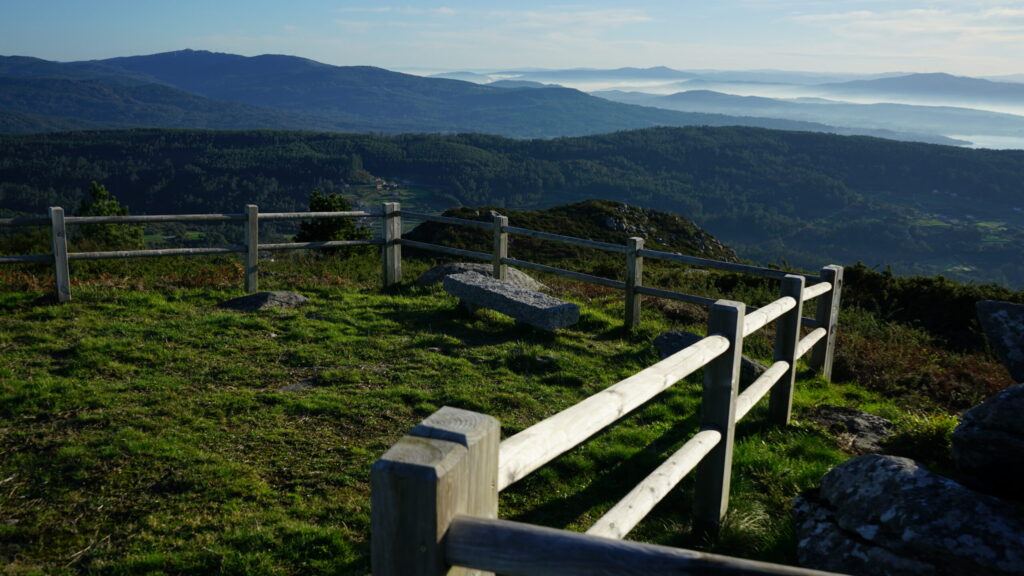
Ten kilometers from Boiro is the A Figueira viewpoint, also known as Coto da Filloa. The word “coto” in this case refers to the highest part of a hill, which generally has a conical shape and gives it greater verticality. This viewpoint is located in the place called A Figueira and belongs to the parish […]
Pico Muralla
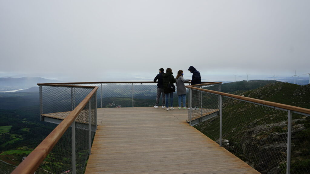
The Pico da Muralla viewpoint is located in the parish of Araño (Rianxo), at the highest part of Monte da Muralla. It stands at an altitude of 678 meters above sea level overlooking the Ría de Arousa. It is situated in a border area between two municipalities, Rianxo (Arousa Norte) and Lousame (Noia region). The […]
Araño Hórreo
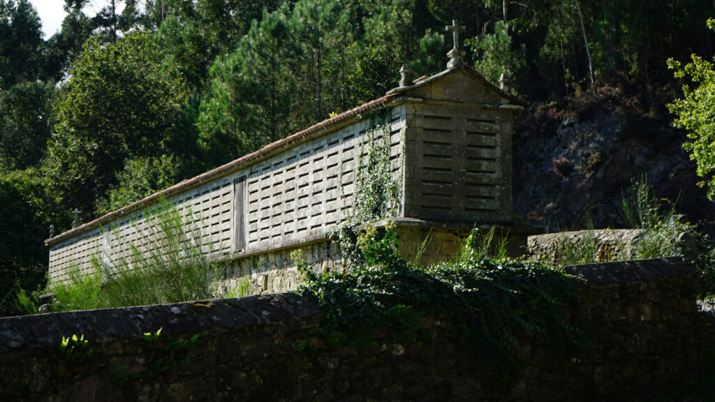
The Galician hórreo is a specific construction of the autonomous community. Its use was agricultural and it was intended to dry and store corn, as well as other cereals before shelling and grinding them. It played an essential role, as it was the best way to preserve the grain away from moisture and animals such […]
Castro da Cidá
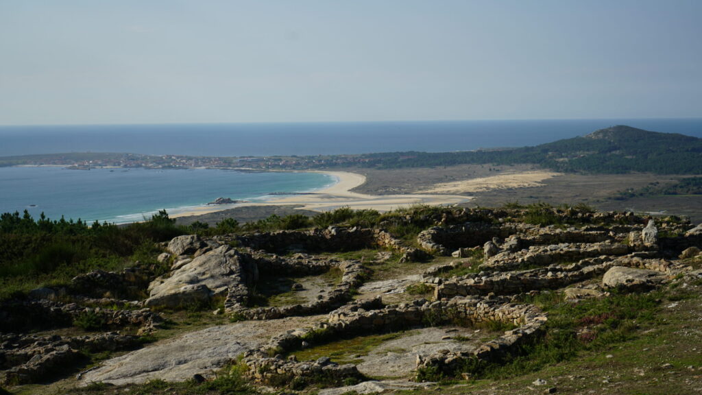
Castro da Cidá is located at the westernmost tip of the Barbanza peninsula, on a small mountain with an altitude of 210 meters. This hill, due to its panoramic views, became a strategic location. From it, you can observe the Ría de Arousa, Cabo Corrubedo, its town, and the Parque Natural do Complexo dunar de […]
Pedra da Rá
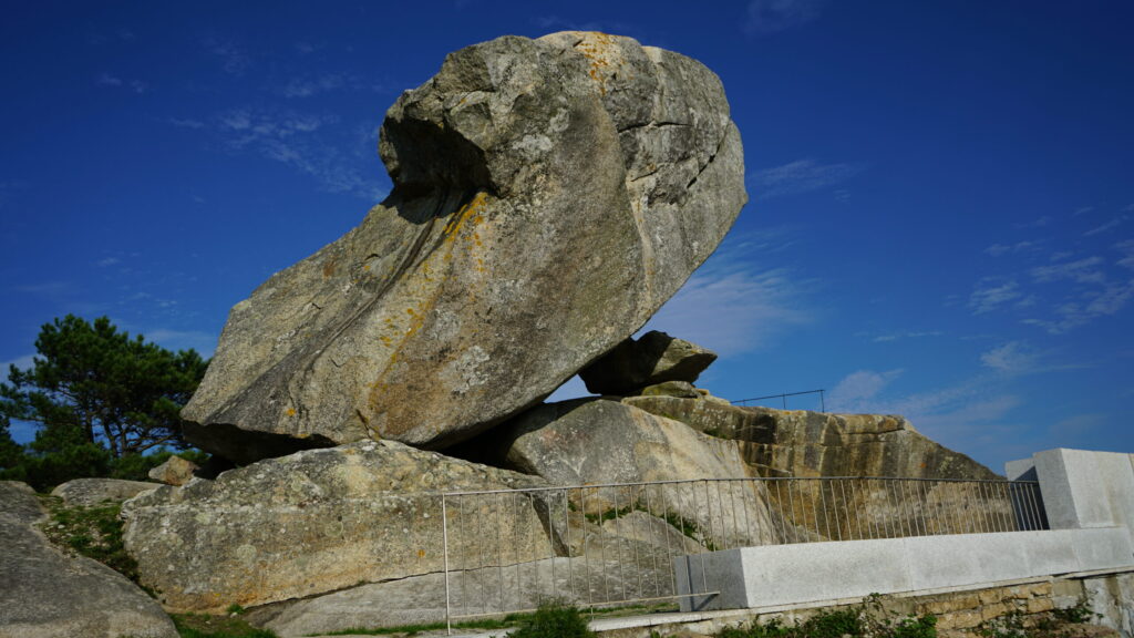
Below the castro da Cidá, just a few meters to the west, and along a path not suitable for everyone, rises the rock known as Pedra de A Rá (the Frog). From this viewpoint, you can enjoy views of the dune park, the Carregal and Vixán lagoons, and even – in the distance – the […]
Castros of Neixón

The castros of Neixón are located on a small peninsula situated inside the ría de Arousa, specifically in one of the innermost areas of it, located to the NNE. Its location is strategic in relation to the maritime trade circuit; at the same time, its placement must be related to the mining wealth of the […]
Betanzos
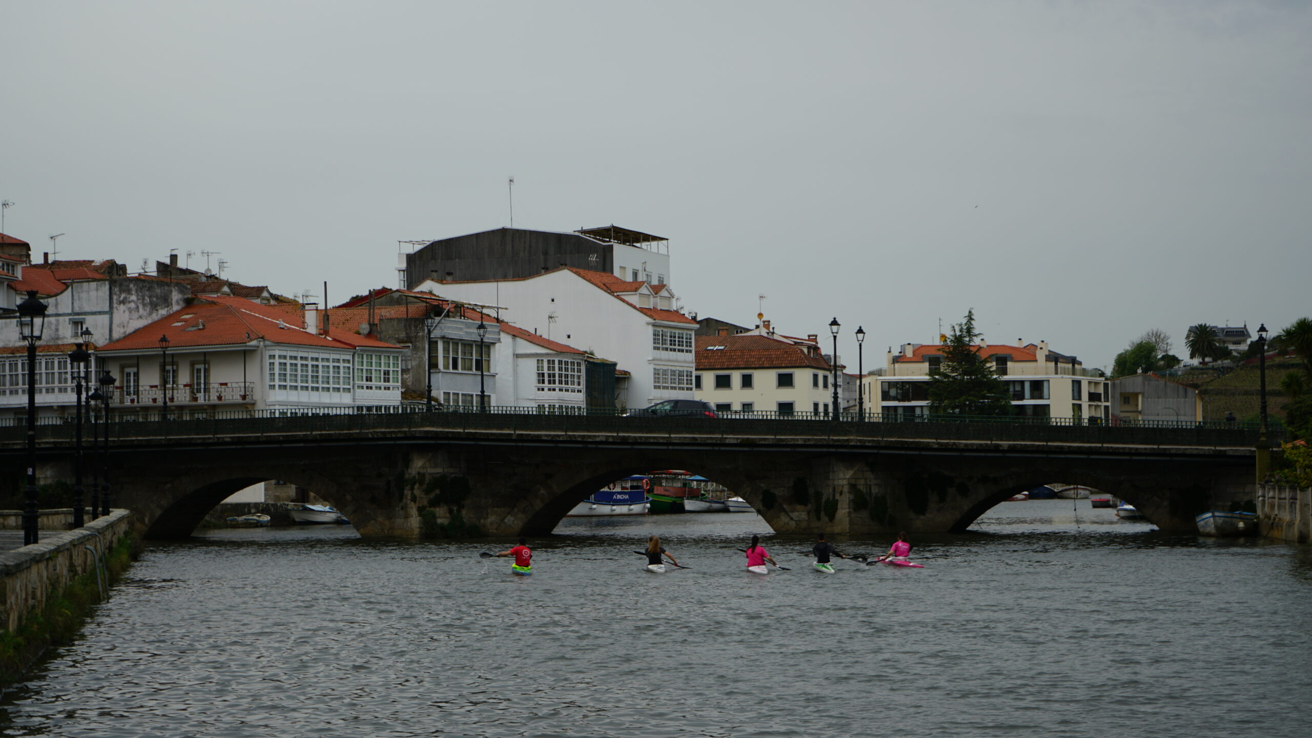
A Ponte Vella is almost certainly the oldest bridge in Betanzos. It is already mentioned in the year 1200 and is currently the natural exit for pilgrims traveling the English Way to Santiago de Compostela. It is a bridge built of ashlar masonry with a single arch and parapets. It was blown up in 1809 […]