Cruise along Ría de Arousa, visit to the mussel, oyster and scallop farming rafts, known as “bateas”. Explanation about them surrounded by the Ria de Arousa views. Steamed mussels & local wine tasting.
Visit to the mussel, oyster and scallop cultivation rafts, with a stopover to see the seabed and enjoying a mussel tasting accompanied by Albariño wine or soft drinks.
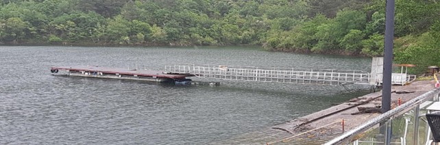
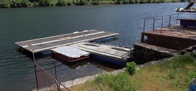
From this pier, you can appreciate the imposing verticality of the mountains, which provide access to numerous places of interest. During the river crossing, you can enjoy magnificent views of the reservoir’s structure, especially from the viewpoints of the San Estevo Dam and the pier itself, which allow observation of the Sil River’s waters and […]
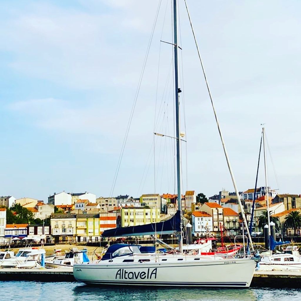
This safe Marina is in the center of Pontevedra City. Sailors have to navigate through the Estuary to enter the channel mouth, marked with green and red lights. Besides its dredged channel, the lack of water limits its access, which is 2 meters at low tide.
The surroundings of the old pier are dominated by vineyards and the visual depth offered by the panoramic view of the Miño River and its two banks. You can observe the terraces and the transport routes used to move the grapes, alongside the old pier which once facilitated communication via traditional boats of the area. […]
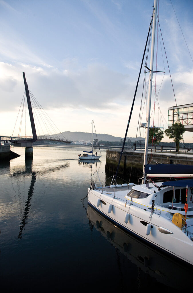
The Marina of Viana do Castelo / Recreational Port is located on the right bank of the Lima River and has two docks. One is situated downstream of the Viana do Castelo metal bridge, with 163 mooring posts for vessels up to 20 meters in length and 3 meters draft. It has an area of […]
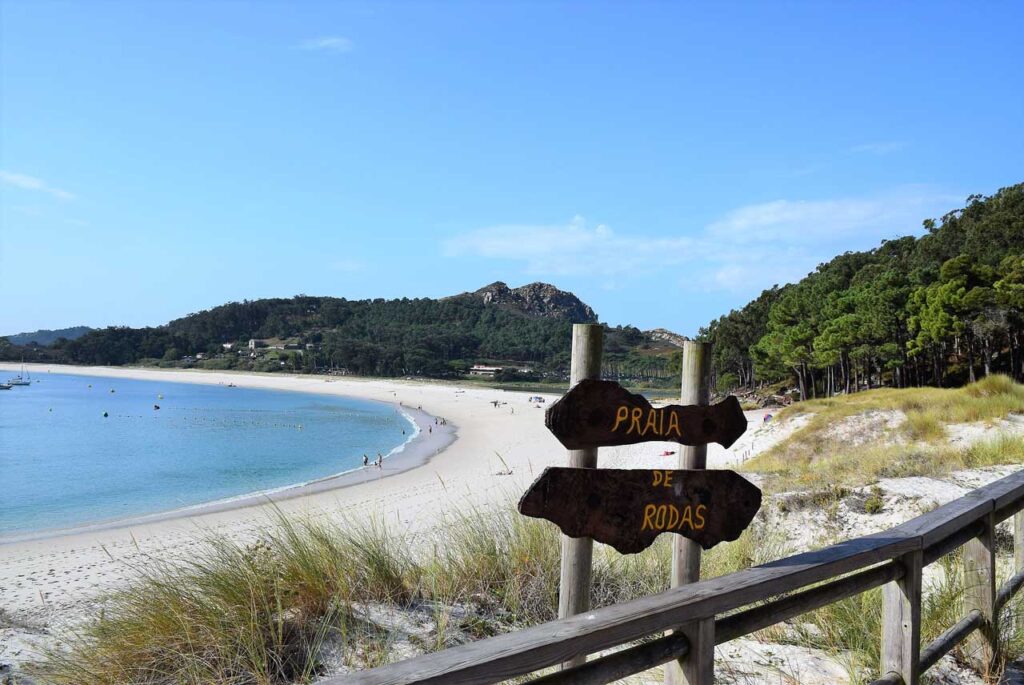
La playa de Rodas se encuentra en el archipiélago de Cíes y une de forma natural la isla norte o de Monteagudo con la isla del medio o del Faro. Fue denominada por el diario
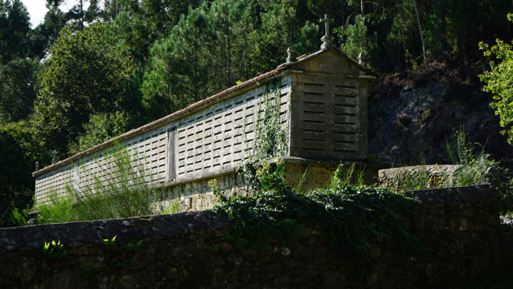
El hórreo gallego es una construcción específica de la comunidad autónoma. Su utilización fue agrícola y se destinaba a secar y guardar el maíz, además de otros cereales antes de desgranarlos y molerlos. Cumplía una
El Concello de O Rosal tiene una superficie de 44,7 km2, está situado al suroeste de la provincia de Pontevedra. Limita al norte con el ayuntamiento de Oia, al sur con el río Miño y
Cruzando el puente de origen romana y medieval, dejando atrás el casco histórico se va al margen derecho del río Lima. El paisaje se vuelve más verde a causa de la vegetación de ribera y