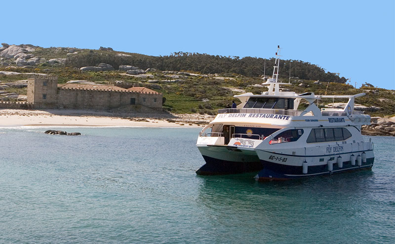
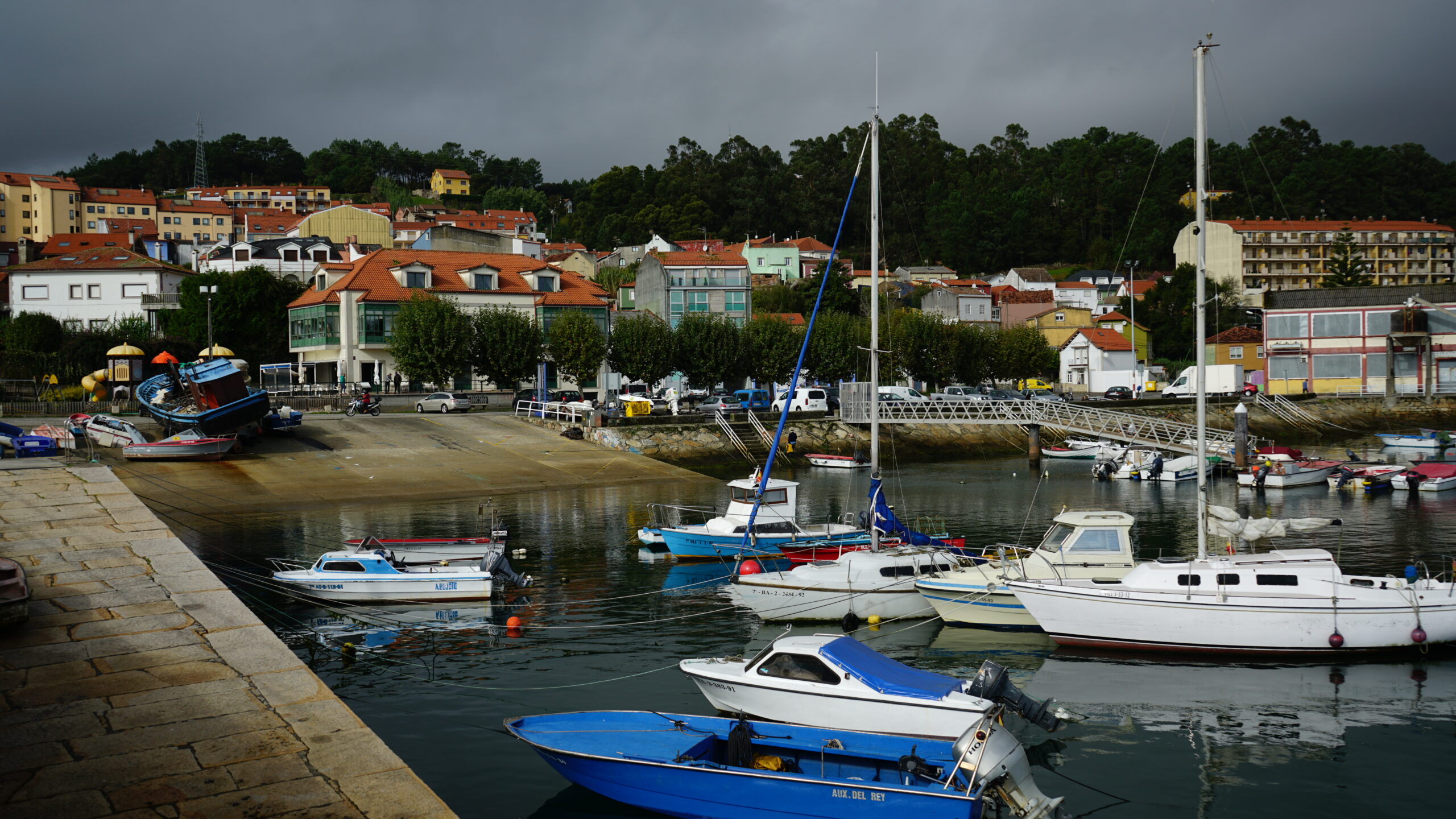
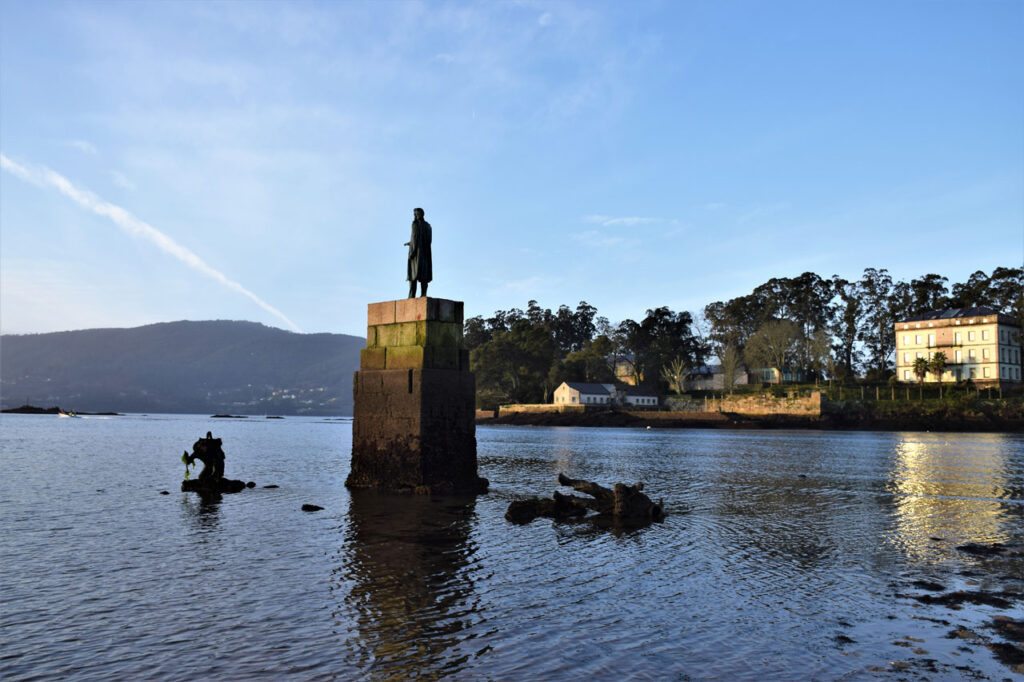
The Maritime Route recreates this journey from Ribeira to Padrón. From there, the Xacobea route continues the route of the Portuguese Way to the Cathedral of Santiago, where the remains of the Apostle rest. With this itinerary you will discover, by sailboat along Ría de Arousa and by motorboat along the Ulla river, the places […]
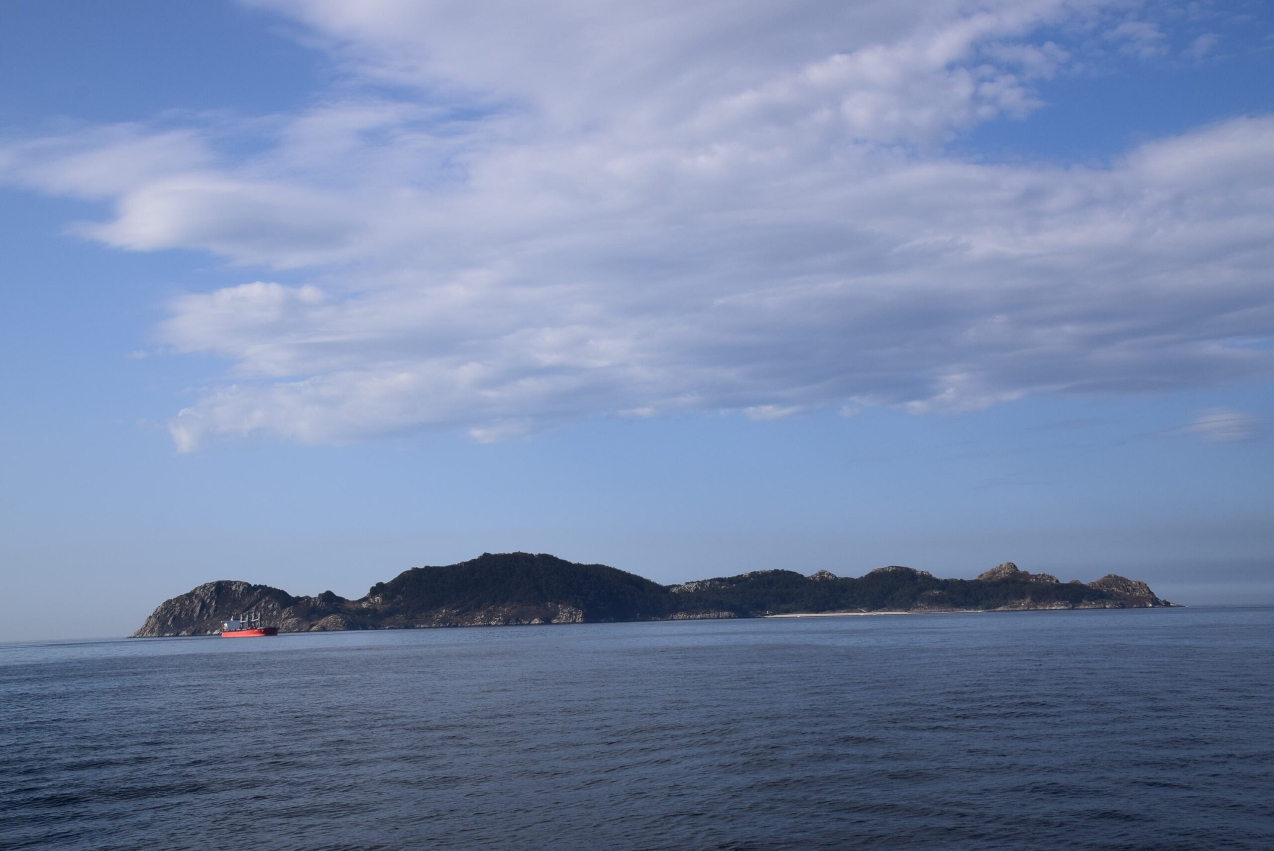
This cultural and nautical itinerary is linked to the ancient trade routes of the Phoenicians in search of the tin found on the Casterides Islands, one of which would be the Cíes Islands. The Cíes Islands are part of the only National Park in Galicia called the Maritime-Terrestrial National Park of the Atlantic islands. This […]
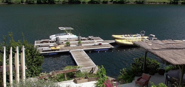
Description The Amizade Pier is located on the Minho River, by a cross-border leisure park called “Parque da Amizade”, and close to the town’s historical centre. Its privileged location also sets it near the eco road called Caminho do Rio, a 13 km way following along the river. The Amizade Pier is an accessible infrastructure […]
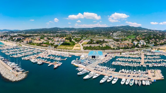
Visiting Sant Andreu de Llavaneres is an experience full of contrasts. From the modern facilities of its marina to its rich architectural, cultural, and gastronomic heritage. In its old town, we discover modernist buildings, such as Ca l’Alfaro, from where we can ascend to the hill of Can Cassany, a privileged viewpoint to photograph stunning […]
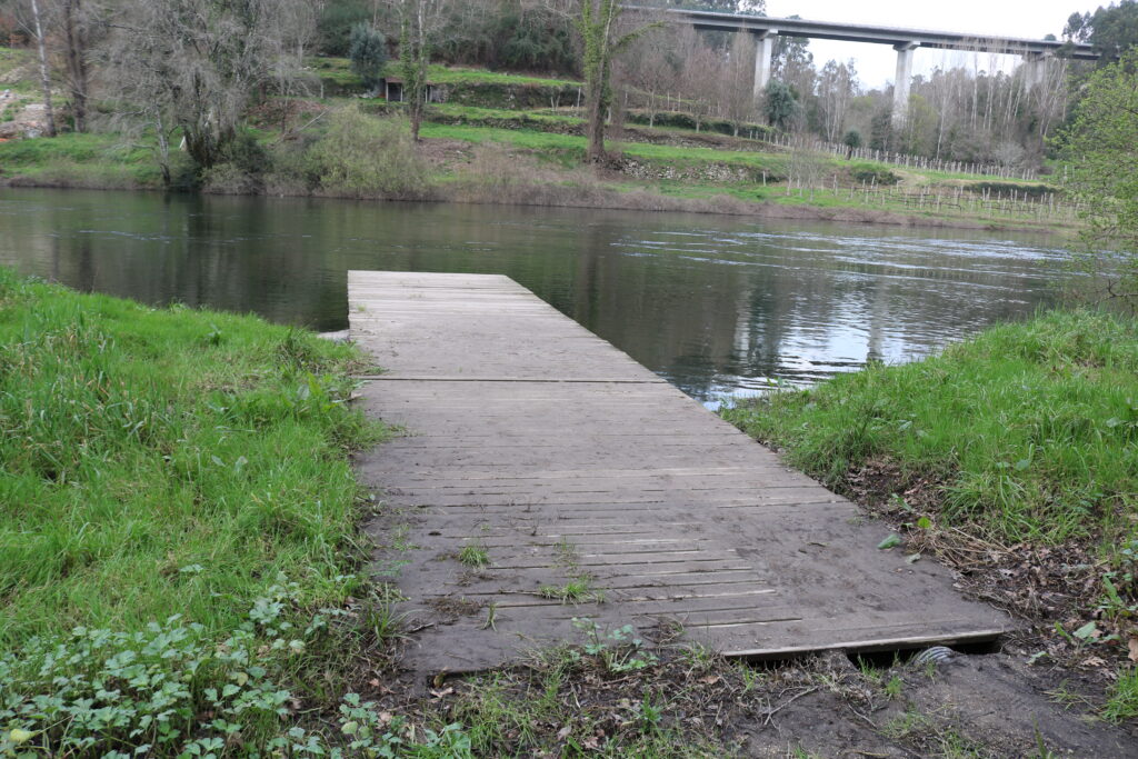
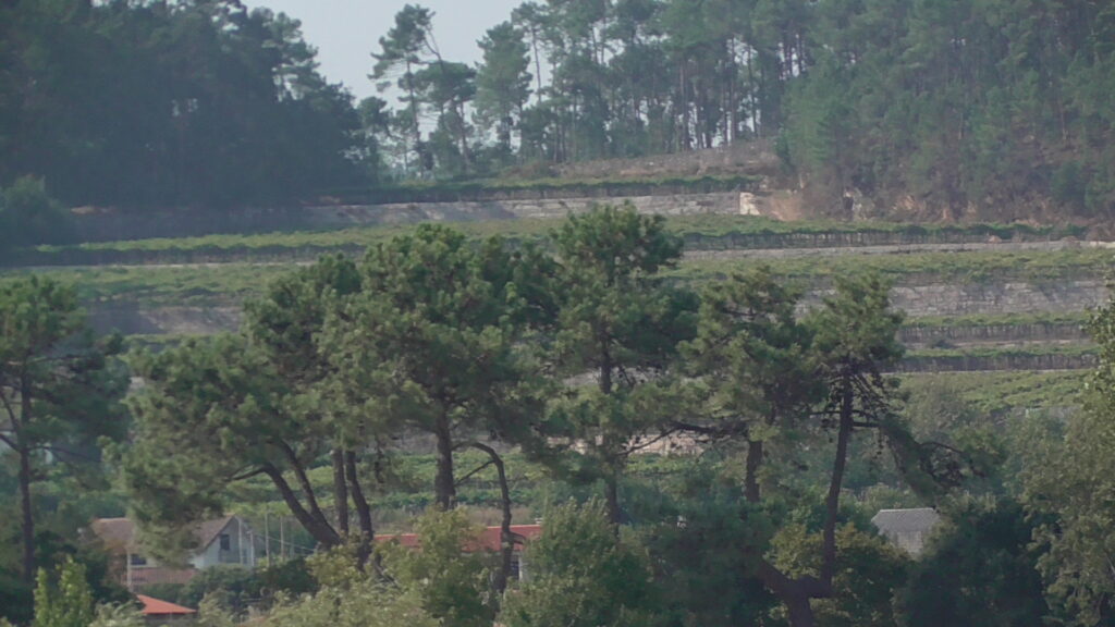
The surroundings of the Tanxarela pier stand out for the visual depth offered by the Miño River, framed by the vineyards covering both banks. You can see the terraces and traditional paths used to transport grapes, as well as the old dock that facilitated river communication through characteristic boats of the area. Some of these […]
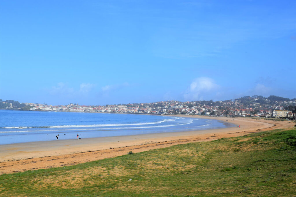
La conocida y popular playa América está situada en Nigrán (Pontevedra). Limita con el ayuntamiento de Vigo y ocupa gran parte de la bahía de Baiona.Su nombre original Área Loura” hace mención a su arenal
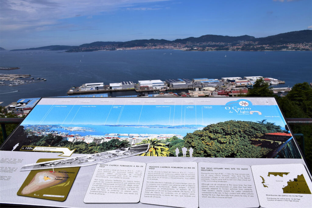
El yacimiento castreño O Castro forma parte de un gran castro de la Edad del Hierro que ocupó todo el monte de O Castro. Estuvo habitado, según los datos arqueológicos, ente el siglo III a.
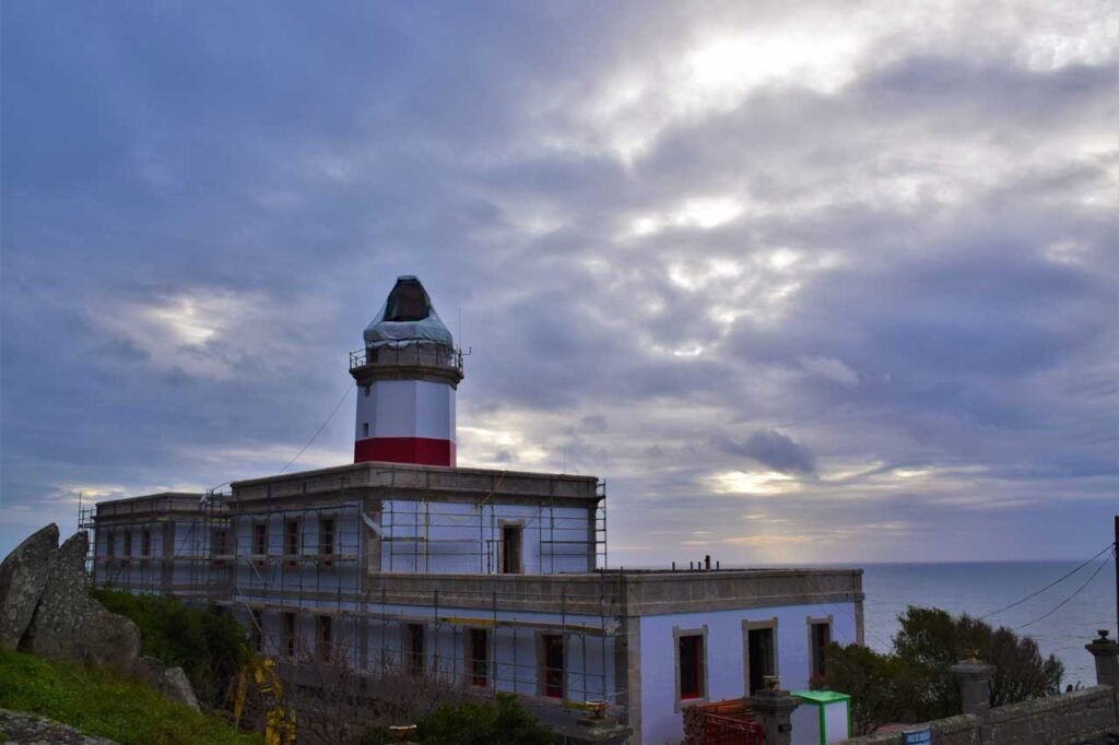
Cabo Silleiro is a geographical feature located in the southwest of Galicia, in the parish of Baredo (Baiona), which closes the estuary to the south, marking the beginning of the Rías Bajas to the north.
En la subzona de O Rosal, en el suroeste de Galicia, a orillas del río Miño, aquí destacan cuatro uvas blancas autóctonas que definen la identidad del vino local: Albariño, Loureiro, Caíño blanco y Treixadura.
The Castro de A Forca is a place that transports us to the heart of the Iron Age. Around the 4th century BC, the castrexas communities built this small fortified settlement at the beginning of
Tras la famosa Batalla de Rande los Galeones hundidos en la bahía crearon una leyenda y un sueño en la imaginación popular ya que no está claro si con los galeones se hundieron parte de