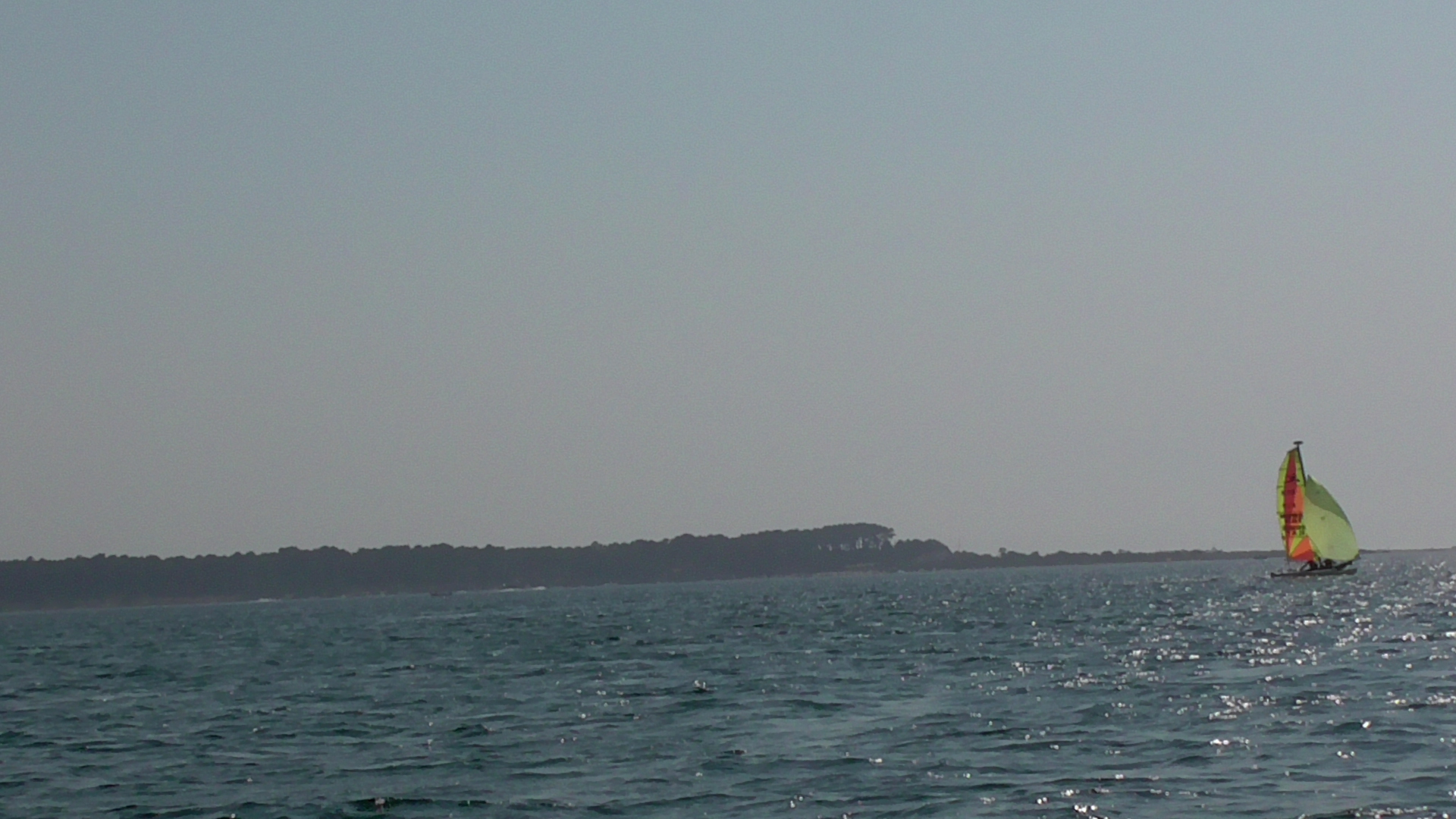
We will go sailing in the late afternoon, headed to a special point to watch the sunset with the best night views of the entire Ría de Arousa, accompanied by a great seafood platter. After dinner we will make “Queimada” with a witch show and special effects.
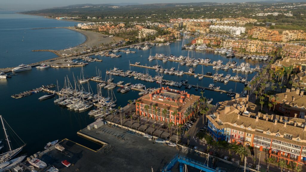
Puerto Sotogrande is located in the Campo de Gibraltar, in the southernmost part of the Iberian Peninsula and Andalusia, southeast of the province of Cádiz. Straddling two continents – Europe and Africa -, its location between two seas – Atlantic and Mediterranean – and the presence of Gibraltar make this area one of the most […]
It is located in the southeast of the island of Mallorca, in the Es Migjorn Marine Reserve, 30 minutes from Palma. It is a small privately managed port. It mainly serves the village of S’estanyol and has some nautical charter companies.
Located at the bottom of the bay opening between Monte Urgull and Monte Igueldo, 1.5 miles WSW from the previous one, with an entrance 150 meters wide and 12 meters deep. In the center of the bay lies the Isla de Santa Clara, just over 400 meters long, stretched NE-SW. The marina is situated south […]
La palabra marismas proviene del latín maritimus, relacionado con el mar, y describe las zonas húmedas influenciadas por las mareas. En la desembocadura del río Miño, las marismas forman una valiosa reserva natural gracias a su biodiversidad. Aquí encuentran refugio aves migratorias y peces que utilizan estos espacios como lugar de reproducción, haciendo de este […]
The Ponte Maior de Ourense, also known as Ponte Romana or Ponte Vella, is one of the great symbols of the city and one of the most outstanding engineering works of antiquity in Galicia. Its origin dates back to the 1st century, when it was part of the Roman Vía Nova, which connected Bracara Augusta […]
El yacimiento del puerto romano conocido también como Mercado dos Mouros, es un reciente hallazgo que denota la actividad comercial de la zona desde tiempos remotos. Las primeras excavaciones de este reciente descubrimiento fueron dirigidas por el arqueólogo David Fernández. Donde daba cuenta de la riqueza del encuentro ya que los fragmentos de cerámica y […]
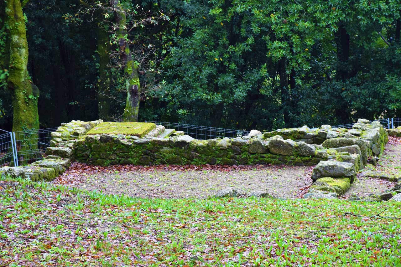
Localizado en pleno centro histórico de Vilagarcía, este yacimiento presenta diferentes niveles de ocupación en la fase final de la Edad del Hierro, en el siglo I a. C. Su posición estratégica tanto en la ría de Arousa como en la desembocadura del río Ulla les otorgó acceso a los circuitos comerciales de los mercaderes […]
Nos encontramos en A Pasaxe, donde podemos ver el monolito de piedra como puerto xacobeo en forma de onda de mar. Este es el punto de entrada en Galicia al camino portugués por la costa. Aquí os contamos cómo comenzó todo… El Camino Portugués por la costa que se inicia en Oporto fue oficializado en […]
El municipio de Poio está situado en la provincia de Pontevedra, sus costas se encuadran en el marco de la Ría de Arousa. Tiene como ayuntamientos vecinos a Pontevedra, Sanxenxo, Meis y Meaño.Turísticamente es conocido por sus playas, restaurantes, pinares y también por su oferta patrimonial y cultural. A Poio pertenece Combarro, una villa marinera […]
The castros of Neixón are located on a small peninsula situated inside the ría de Arousa, specifically in one of the innermost areas of it, located to the NNE. Its location is strategic in relation to the maritime trade circuit; at the same time, its placement must be related to the mining wealth of the […]
Entre la comarca de O Salnés y la Ría de Arousa, no existen apenas grandes elevaciones en el territorio próximas a la costa. El paisaje se caracteriza por ser de zonas bajas que, se elevan muy poco sobre el nivel del mar. Por ello, es lógico que los pocos montes que existen, pudiesen haber sido […]
This is a walking route through the historic center of the North African city, visiting the Royal Walls and Plaza de África, where the most important buildings of the town are located, such as the Cathedral of Our Lady of the Assumption, the General Command of Ceuta, and the City Hall or Assembly Palace.
The Cruceiro of the Pazo de Punxín is located inside the pazo itself and is an example of the Galician tradition of placing these monuments in private spaces of historical importance. It stands on two square-section steps and a truncated conical base, which leads to a cylindrical shaft that tapers upwards. On top of this […]